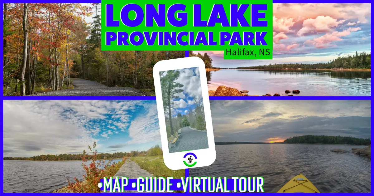
Halifax Regional Municipality Long Lake Provincial Park Moderate, Biking, Easy, Half-Day, Hiking, Paddling, Short, Swimming
Halifax Regional Municipality The Bluff Wilderness Trail Hiking, Camping, Difficult, Half-Day, Long, Moderate, Paddling, Swimming
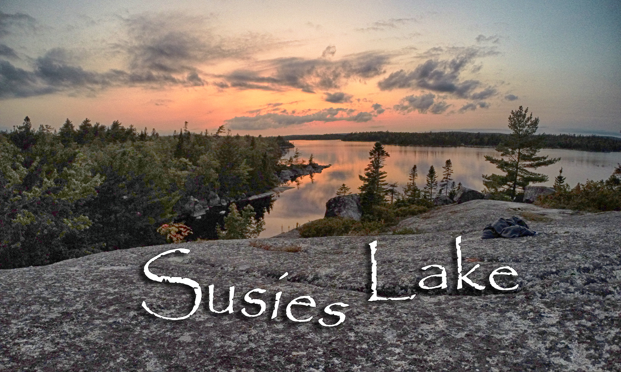
Halifax Regional Municipality Susies Lake – Blue Mountain-Birch Cove Lakes Hiking, Difficult, Paddling, Short, Swimming
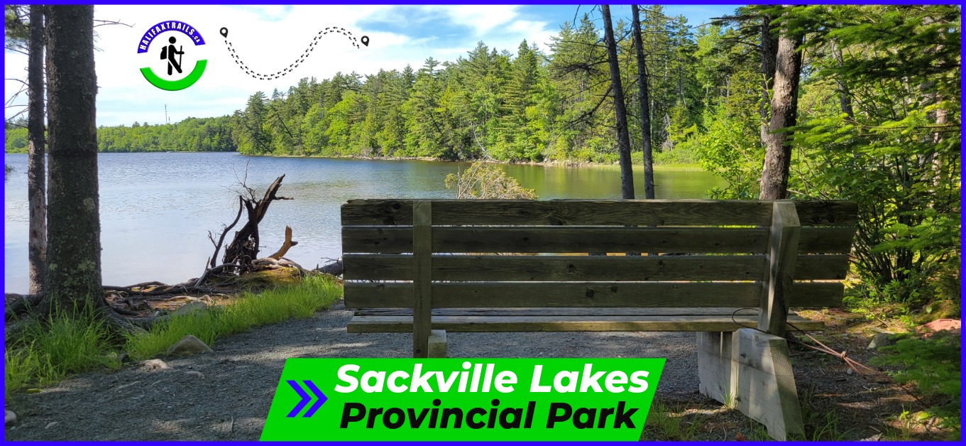
Halifax Regional Municipality Sackville Lakes Provincial Park Easy, Biking, Hiking, Paddling, Short, Swimming
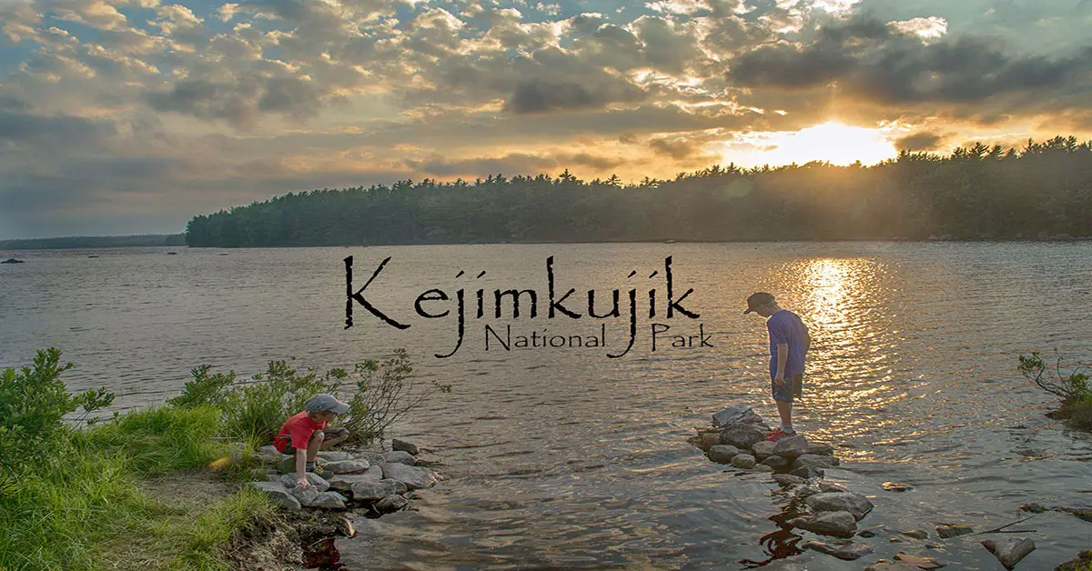
Queens County Kejimkujik National Park Camping, Biking, Difficult, Easy, Half-Day, Hiking, Long, Moderate, Paddling, Short, Swimming
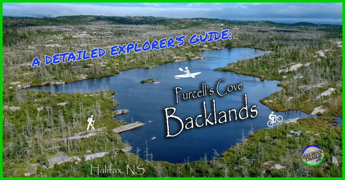
Halifax Regional Municipality The Halifax Backlands Difficult, Biking, Half-Day, Hiking, Long, Moderate, Paddling, Short, Swimming
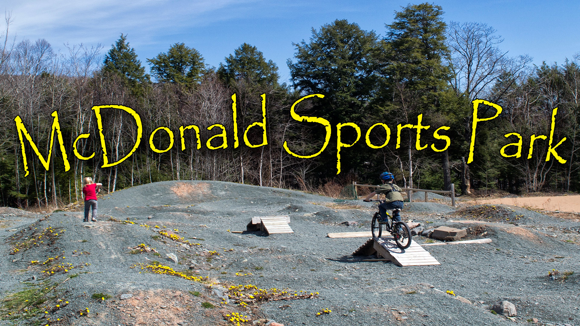
Halifax Regional Municipality McDonald Sports Park Short, Biking, Hiking, Moderate, Paddling, Swimming
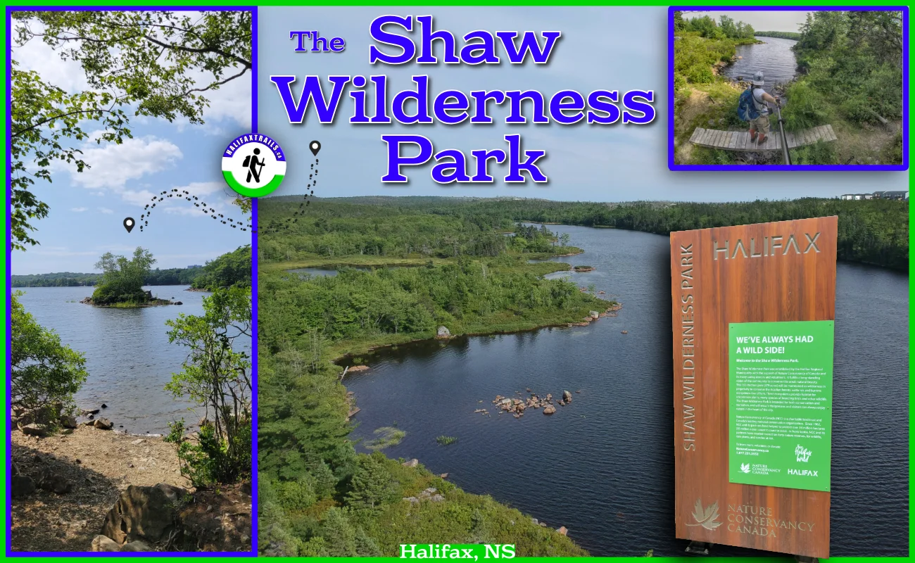
Halifax Regional Municipality Shaw Wilderness Park Moderate, Difficult, Half-Day, Hiking, Paddling, Swimming