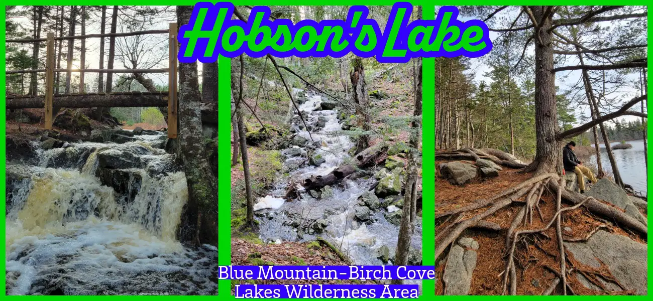
Halifax Regional Municipality Hobsons Lake Trail, Blue Mountain-Birch Cove Lakes Wilderness Moderate, Difficult, Half-Day, Hiking, Short
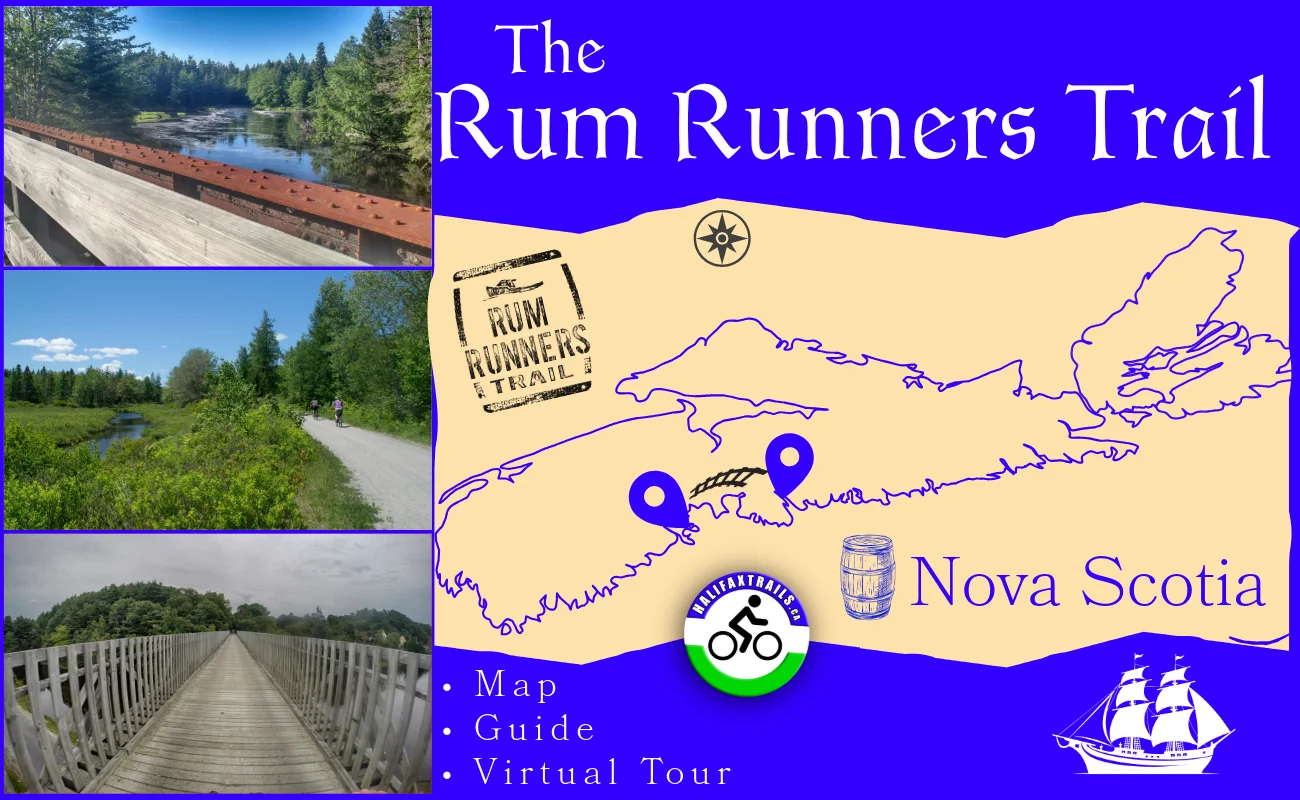
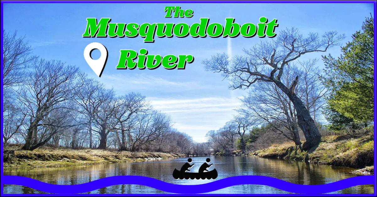
Halifax Regional Municipality Musquodoboit Trailway Difficult, Biking, Half-Day, Hiking, Long, Swimming
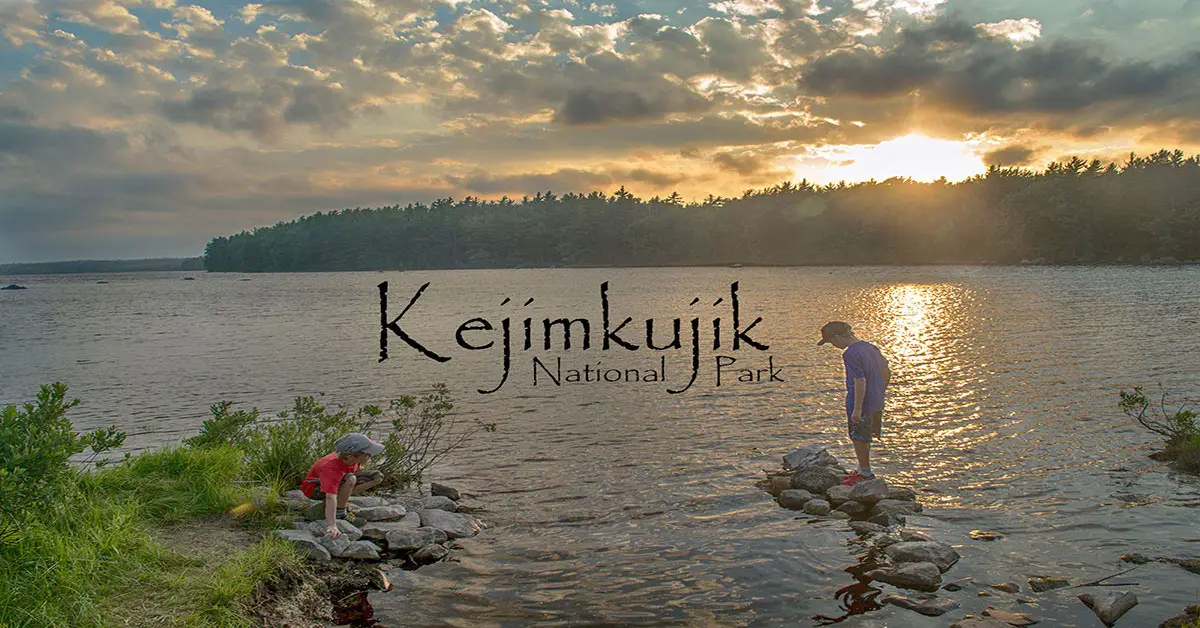
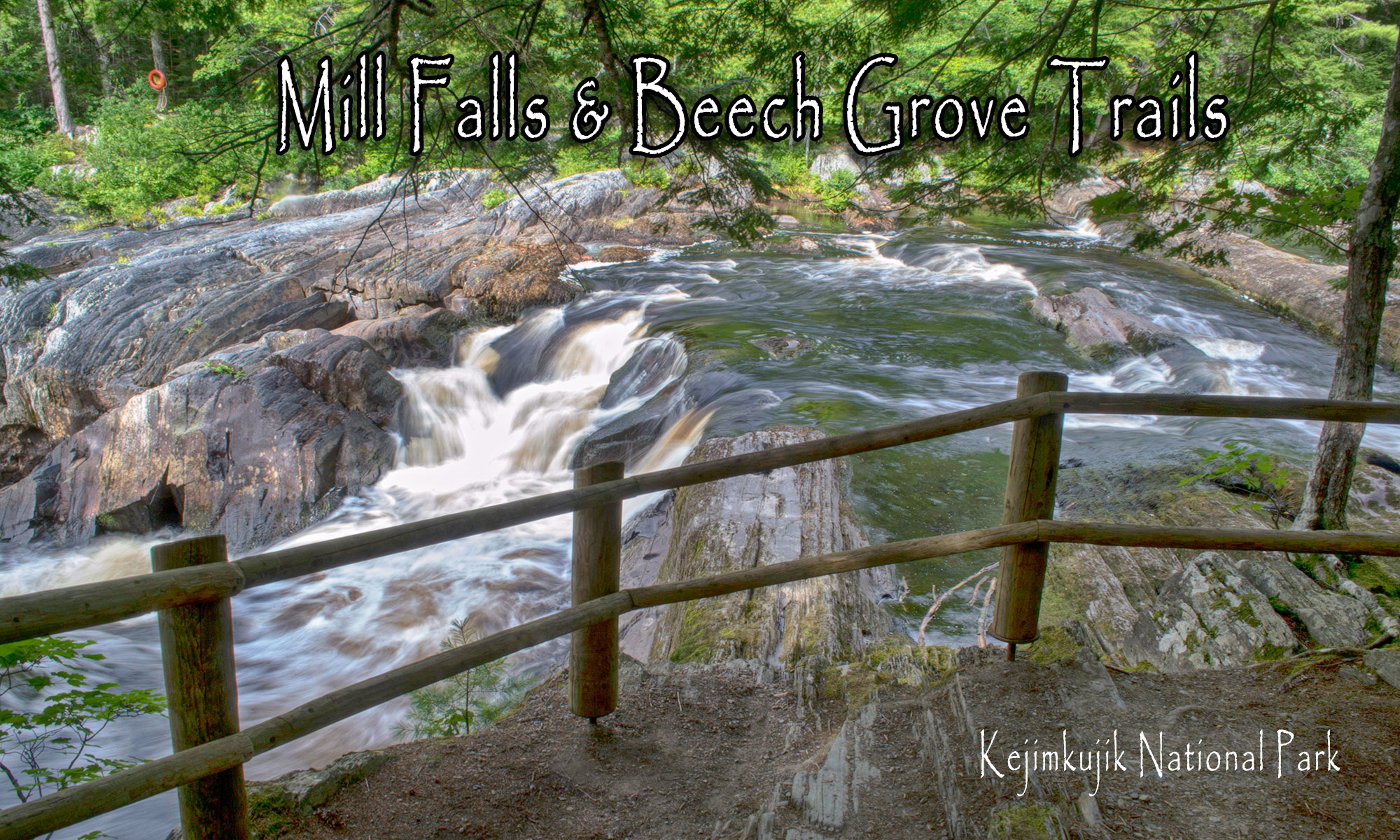
Queens County Kejimkujik National Park Camping, Biking, Difficult, Easy, Half-Day, Hiking, Long, Moderate, Paddling, Short, Swimming