- Difficulty: Difficult (distance).
- Facilities: Parking lots, picnic tables, benches, public beaches & parks.
- Signage: Minimal, info kiosks at each section’s trailhead.
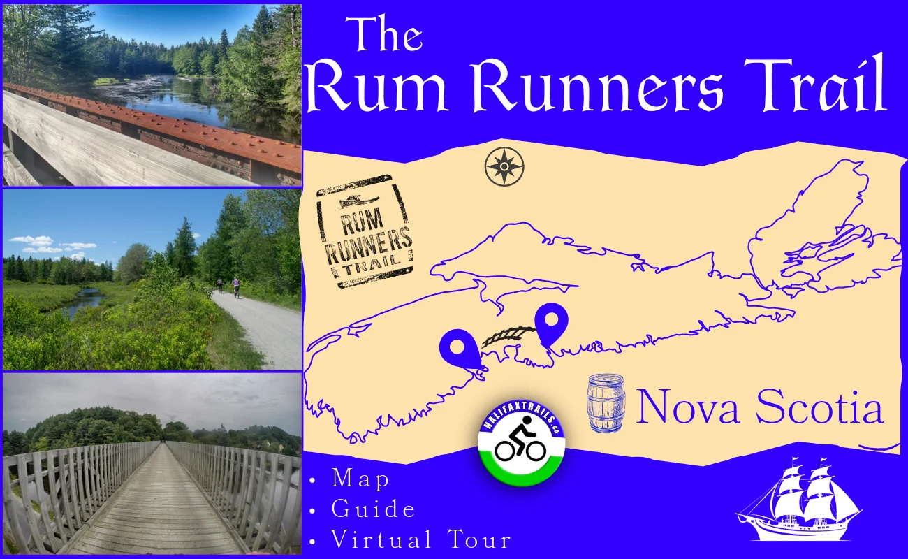
- Features: 123km route connecting Halifax to Lunenburg—converted railway with compacted crusher dust base (except paved Chain of Lakes Trail). Scenic lookoff areas, benches & access to parks, beaches & hiking trails.
Rum Runners Trail
 The Rum Runners Trail encompasses 7 different segments with their own attractions on or accessible from the trail. A fantastic way to travel from Halifax to Lunenburg or any points between without having to travel on roads or highways. The #rails-to-trails are ideal #biking trails (for bikes that are capable of driving along hard-packed, fine gravel) due to their railroad past. These old railways have no excessively steep climbs and fairly level grades throughout.
The trail gets its name from the rich history of this area during the Prohibition era. Prohibition in Nova Scotia was enacted from 1921 to 1930, during which Nova Scotian bootleggers, aka “Rum Runners,” were a big supplier of the illegal market. With its rich history of high-seas piracy, Nova Scotia wasn’t just ideal geographically. It had plenty of experienced smugglers who knew how to navigate the many sheltered, secluded bays and coves. The coastlines, with their close proximity to the railroad made it an ideal route for Rum Running.
When calculating trip times for these trails, I use an average moving pace of around 14km per hour to get a ballpark idea. I always allow plenty of extra time to take breaks and enjoy the sights along the way. I stop to take lots of photos and videos for this site, so I almost double the moving time estimate to calculate my total trip time. Many of the longer routes along this trail require you to take 2 cars if you don’t want to double back. Park one at the start and one at your final destination, or have someone pick you (and your bike) up. To my knowledge, there are no shuttle services to this end. Depending on the time of day, the sun can be directly in your face for long stretches, so don’t forget to bring sunglasses.
Rum Runners Trail Photos


The Chain of Lakes Trail (7.5km)
 The first section of the trail starts in Halifax. The Chain of Lakes Trail is the longest paved trail in Halifax and is a popular active transportation trail. It is well-used and can be downright busy at times. As the name suggests, it follows a chain of small lakes as it connects busy urban areas (Joseph Howe Drive – Bayers Lake & Lakeside Business & Industrial Parks. A bicycle bell is a must for this trail and should be used for all of these trails. Click here for my detailed Chain of Lakes Trail guide.
The B.L.T. Trail (13km)

This trail connects the communities of Beechville, Lakeside, and Timberlea (B.L.T.). Starting in the Lakeside Industrial Park, you’ll soon come to a scenic waterfall area complete with benches to stop and enjoy. Carrying on you’ll cross scenic bridges and come to the popular Bluff Wilderness Trail, a great place for backcountry hiking. With plenty of places to enjoy views, you don’t have to travel far to find a great place to stop. Click here for my detailed BLT Trail guide.
The St. Margaret’s Bay Trail (32km)

The St. Margaret’s Bay Trail starts near (and has access to) Jerry Lawrence Provincial Park. From there, you’ll drive by some scenic brooks and rivers (accessible off-trail) on your way to Tantallon where you can stop for supplies, dine, or have a coffee at the “Bike and Bean”, a former train station turned cafe. Continuing on, you will eventually head towards the coast of beautiful St. Margaret’s Bay, where cool ocean breezes and coastal views await. Day-use parks and public beaches are easily accessible from the trail. This section comes to an end in picturesque Hubbards, where you can stop again for supplies, stay and dine. Click here for my detailed St. Margaret’s Bay Trail guide.
The Aspotogan Trail (13km)

Connecting Hubbards to East River, the Aspotogan Trail is a scenic 13km multi-use route built on a historic railway bed. As a vital link in the 123-km Rum Runners Trail network, this multi-use, former railway line is a favourite for walkers, joggers, cyclists, and ATV riders alike. While it is an inland trail, water is a constant companion here. The trail curves alongside picturesque rivers, brooks, and lakes.
Whether you are walking, biking, or travelling by OHV, the trail provides a beautifully secluded corridor that connects directly to the St. Margaret’s Bay Trail to the east and the Chester Connector to the west. Click here to view my detailed Aspotogan Trail guide.
The Chester Connector Trail (35km)

Starting with a scenic brook and lakeside picnic area, the Chester Connector is a long stretch connecting to the famously beautiful community of Chester. 2km from the trailhead on Highway 103 is a 3km looped hiking trail with a breathtaking panoramic view from Castle Rock. This elevated rock outcrop stands like a natural citadel with views of the distant coastline. Also accessible by a short diversion from the Chester Connector Trail, Graves Island Provincial Park has lots of great campsites to rest and enjoy the coastal beauty. Continuing on, you’ll come to the town of Chester, where there are plenty of options to stay, eat and shop. Click here for my detailed Chester Connection Trail guide.
The Dynamite Trail (11km)
 Connecting Martins River to Mahone Bay, the trail crosses scenic former railway bridges and wetland causeways on its way inland. Wild, serene lakes offer relaxing breaks and #birdwatching opportunities. Ending in the historically beautiful Mahone Bay, for waterfront dining, shopping, and places to stay. Click here for my detailed Dynamite Trail guide.
The Bay-To-Bay Trail (15km)
I haven’t done this final section of the Rum Runners Trail yet, but if you support my work, I’ll be glad to cover it too. Connecting the ultra-scenic communities of Mahone Bay and Lunenburg makes it great on its own. The majority of the trail is inland until you are greeted at the end by picture-perfect Lunenburg. The sights of Lunenburg, which grace many canvases, are a great way to end this adventure.

Now retrieving an image set.
The Rum Runners Trail exemplifies how former rail corridors can be transformed into vibrant community assets, blending recreation, heritage & sustainability. From #Halifax to Lunenburg, #NovaScotia. Map, guide & interactive 360° virtual tour:

Rum Runners Trail - Map, Guide & Virtual Tour | Nova Scotia
Map & Guide With 360° Virtual Tour, Photos & Videos.
www.halifaxtrails.ca