
The Halifax Backlands
- Difficulty: Difficult (Navigation/Terrain/Hills/Distance).
- Facilities: None.
- Signage: Only via McIntosh Run Trails & Shaw Wilderness Park; other trails are unmarked.
- Features: 1350 hectares of highly unique landscapes and ecosystems. A top-notch mountain biking and hiking location without leaving the city.
- Biodiversity: A resilient community of fire-adapted flora, tracking over a hundred documented species that anchor this unique urban ecosystem.
The Halifax Backlands
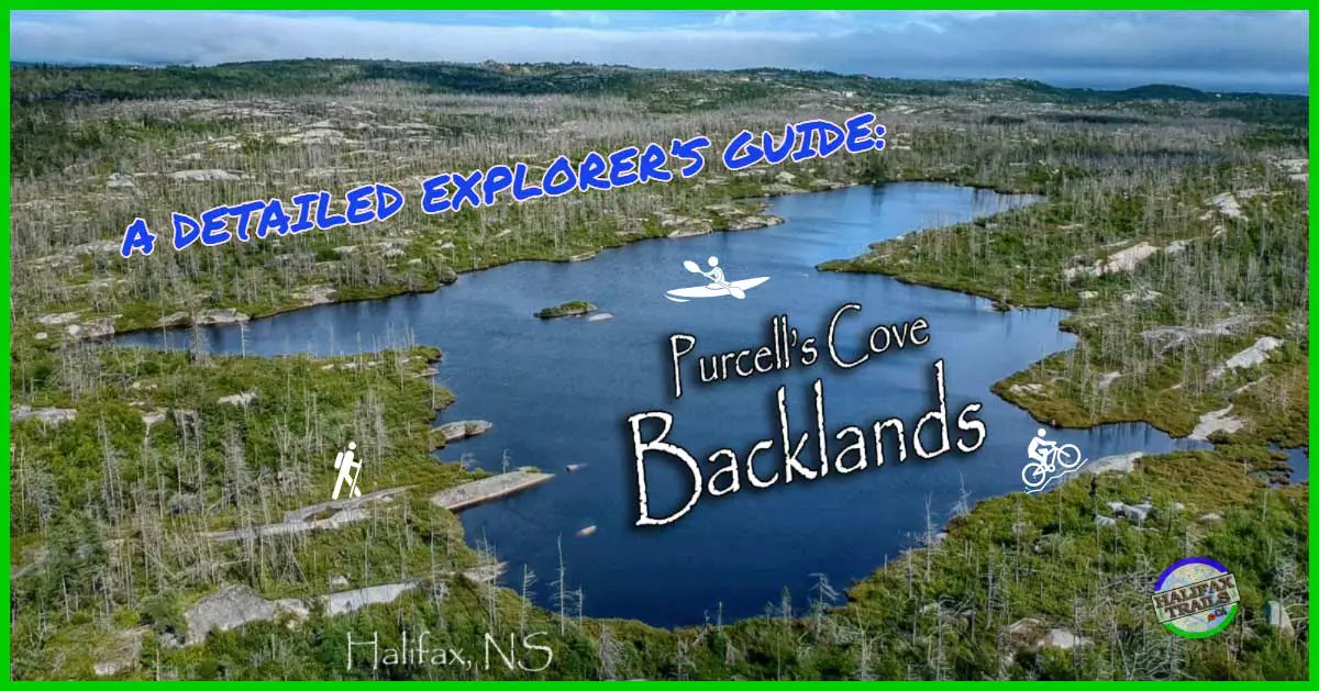
Formerly dubbed the Purcells Cove Backlands, the Halifax Backlands encompass 1350 hectares of Williams & Colpitt Lake, McIntosh Run, Powers Pond, Herring Cove, and Purcells Cove roads. Most entrances are sparsely marked and have minimal parking.
Exploring here requires wilderness navigation experience, ecological, and land ownership considerations. The Colpitt & Williams Lake area of the Backlands is now an officially designated urban wilderness park thanks to help from the Nature Conservancy of Canada. Known as the Shaw Wilderness Park, it’s the largest and one of the few areas of the Backlands to be officially protected thus far.
 McIntosh Run Trails – Mountain Biking Heaven
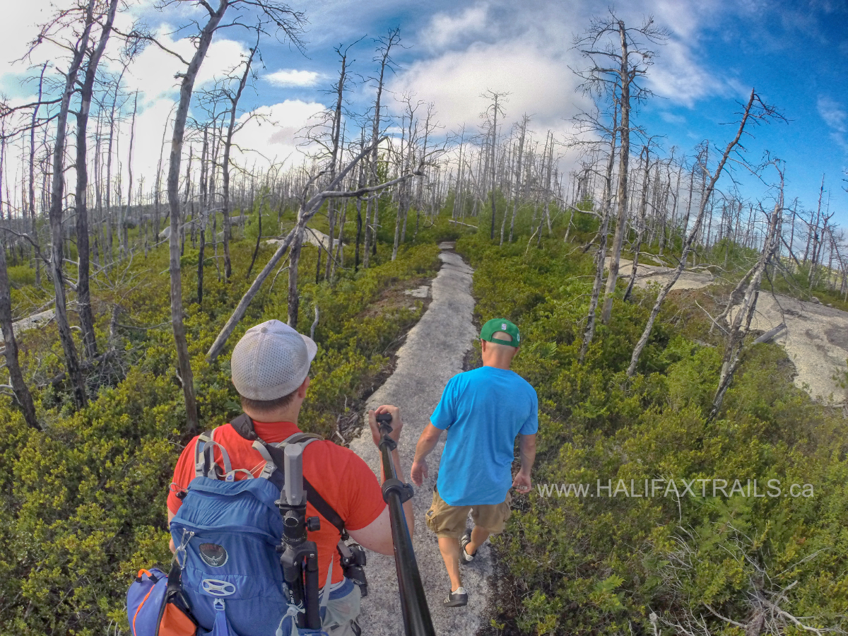
The unique landscape of the Backlands makes it extremely popular with mountain bikers (video) and hikers alike. Proper trail etiquette should be observed. Be on the lookout for others and move to the side of the trail to allow bikers to pass. Navigating the area can be confusing. Interconnecting paths, trails, and rock formations can lead you in many different directions. Careful attention, proper planning, and preparation are required to ensure you don’t venture beyond your means in this large wilderness area.
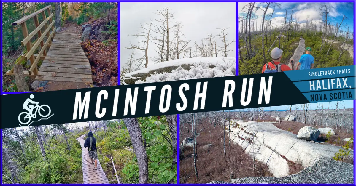
Volunteers with the McIntosh Run Watershed Association are helping to make the trails off of Alabaster Way (Video) aka the McIntosh Run Trails more navigable with signage and proper trail construction. They have also built great singletrack trails off of Norawarren Drive that now connect up to the backlands trails. With all the amazing work they have done to make this a world-class mountain biking destination by forming a community of like-minded volunteers, they are deserving of your support.
Queen’s Quarry – The Granite That Built Halifax
This ecologically unique landscape is composed of glacially sculpted rock, which was quarried from the mid-late 1700s through to the 20th century. The stone was used to construct the early fortresses of Point Pleasant Park, York Redoubt, and the Halifax Citadel as well as the Town Clock and Grand Parade.
The quarry is still visible today via a very scenic hike from Purcells Cove Road. “Queen’s Quarry” is a visually stunning landscape in itself. The area is littered with huge piles of granite slabs, deep crevices, and rusting hints of its past. This old industrial worksite has been reclaimed by nature for over half a century, making for some very interesting views.
This area was used to quarry the granite, dark sandstone, and slate used in almost all of Halifax’s oldest buildings. One of Canada’s oldest railway tracks led down to the water where a pier was constructed to load onto barges for transport. You can read more about this part of Halifax’s history in the book “Purcells Cove: The Little Place that Helped Build Halifax City” by Elsie Millington.
My favourite aspect of the quarry is an area that looks like a stage made of stone, complete with amphitheater acoustics (beware the decades of broken beer bottles). The quarry itself is full of dangerous footing and is best enjoyed from a distance. (Video).
The remains of a WW2 anti-aircraft battery in the Shaw Wilderness Park portion of the Backlands also add to the historical narrative, tying it into other militarily significant #historic sites like nearby York Redoubt, with centuries of bygone-era fortifications.
🌲 Tread Lightly: Unmaintained Wilderness
There are zero facilities or trail crews here. Protect this fragile environment by following the 7 Principles of Leave No Trace:
- 1. Plan Ahead: There is no on-site signage. Download and print maps (GPX) beforehand and prepare for sudden weather changes.
- 2. Travel on Durable Surfaces: Disperse your impact. Walk on bare rock, dry ground, or deep snow to avoid trampling fragile bogs, moss, and vegetation.
- 3. Dispose of Waste Properly: Pack out absolutely everything, including organic food scraps. If it is safe to do so, please help leave the wilderness better than you found it by packing out any existing litter you come across.
- 4. Leave What You Find: Leave stones, plants and all other natural objects in their original place and condition. Prevent the spread of invasive species by removing mud and debris from shoes, clothing and equipment before hitting the trail.
- 5. Minimize Campfire Impacts: Use a portable stove instead of making a fire, as open fires are likely not permitted. If a fire is necessary and legally permitted, do not create new fire rings and ensure it is thoroughly extinguished. If you see an active, out-of-control fire or an illegal campfire during a strict ban, call 911 immediately. For non-emergency illegal burning or rule violations, call the provincial reporting line at 1-800-565-2224.
- 6. Respect Wildlife: Observe from a distance. Never feed wild animals, and store all food and scented items securely.
- 7. Be Considerate: Let the sounds of nature prevail. Avoid excessive noise and yield to others navigating the terrain.
Nature & Wildlife
The data logged by local trail-goers paint a vivid picture of how life thrives across the barrens and bogs. Among the most frequent plant observations are the rugged Jack Pines and the low-slung Broom Crowberry, both of which serve as the ecological backbone of the granite barrens and have bounced back beautifully since a devastating fire in 2009. Hiding in the damp undergrowth and along the lake margins, you’ll regularly spot vibrant patches of pink Lambkill (Sheep Laurel) and carnivorous Pitcher Plants. Some observations serve as a fair warning for dog owners: porcupines are regularly logged in the area, reinforcing why keeping your pets on a leash is essential.
Beyond the barrens, the watersheds host a bustling mix of reptiles, amphibians, and avian life. Trail observers frequently cross paths with Garter Snakes sunning themselves on the exposed granite, while the quiet lake edges and bogs are alive with the calls of Spring Peepers and Green Frogs. Looking to the skies or the canopy, the bird data is equally diverse, featuring regular sightings of majestic Ospreys hunting over the water alongside smaller, active residents like the Black-capped Chickadee and the Palm Warbler. It’s a bustling, interconnected oasis that proves just how much wild biodiversity can be packed into a single urban wilderness zone.
Recent Community Sightings
Live wildlife and plant observations logged along this route:
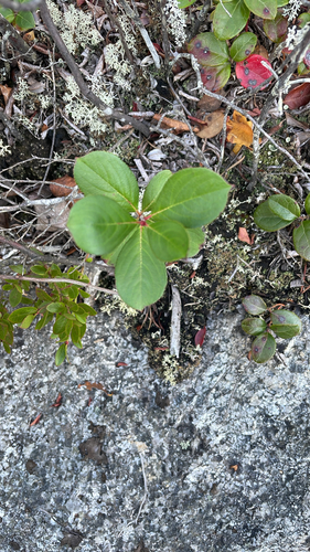
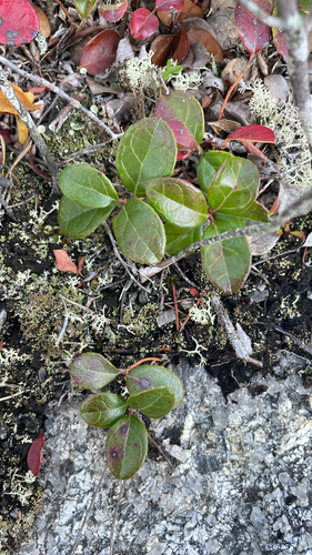
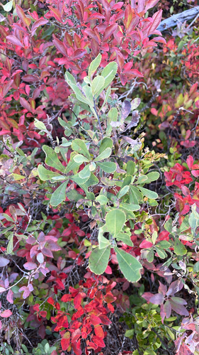
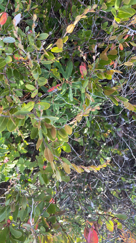
Spot something interesting while out on the trail?
View & Log SightingsGranite Barrens
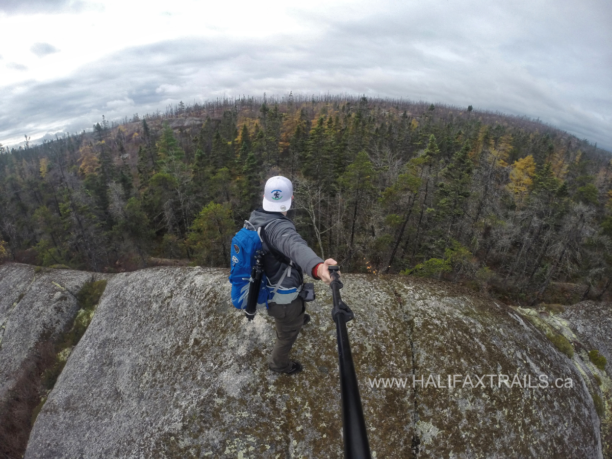 The open granite barren landscape makes for great visibility and open, sweeping vistas. There are many high points like “Piggy’s Mountain” with views stretching many kilometers in all directions. From some points, you’ll be able to see downtown Halifax, the harbour, the open ocean, and encroaching housing developments from angles most Haligonians have never seen.
Vegetation is slowly filling in these open spaces, created after a devastating fire swept the area in 2009. Fortunately, the Jack Pine and Broom Crowberry barrens are uniquely adapted to recurrent fires. Another fascinating aspect among many, the only landscape of its kind in Canada.
Migratory Bird Destination
The area is a Mecca for migratory birds with more than 40 species confirmed to breed here. A great #bird-watching location, you’re likely to see Osprey gliding overhead as they keep tabs on passers-by, some species of which aren’t seen anywhere else in Eastern Canada. This important breeding area emphasizes the need to protect the ecosystem and treat it with respect. Staying on well-used trails and not disturbing any vegetation are rules of thumb.
My Backlands Photos





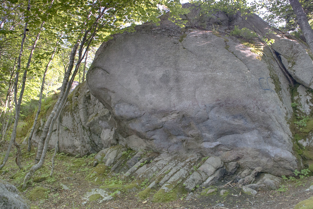


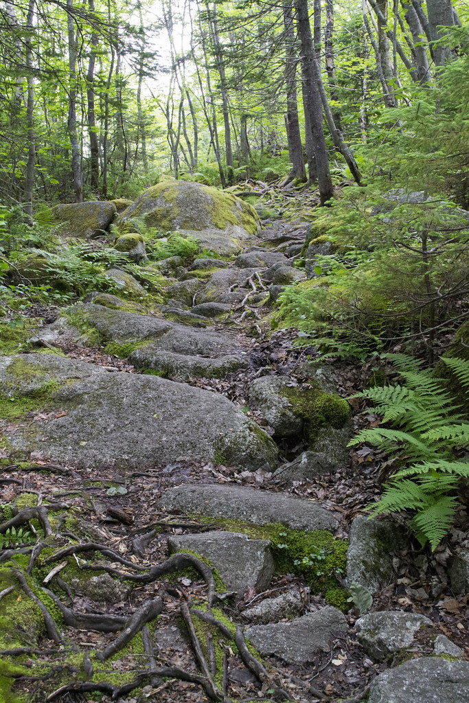

Aside from the array of birds, you may be lucky to see mammals not usually seen within city limits. The increasingly rare and threatened Mainland Moose have even been spotted in this urban oasis. A preferred destination for naturalists, the Backlands are full of unique flora and fauna (video).
Watersheds
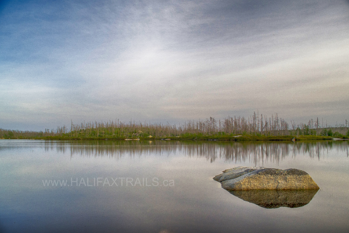 The McIntosh Run and Williams Lake watersheds are the backbone of the backlands. Williams Lake is a cornerstone of the area and has long been a popular swimming spot. It can also be explored via canoe/kayak (video). A paddling loop at the opposite end of the backlands, known as the Pine Island Ponds loop, is a great trip for experienced adventurers.
There are many small lakes, ponds, and streams throughout the backlands. Off of Purcells Cove Road is the unsuspectingly deep Purcells Pond, a great stopping point on the way to Queen’s Quarry. Another favourite stopping point of mine is the aptly named Flat Lake. Often smooth as glass, disturbed only by ducks, it’s a calm place to watch Osprey on the hunt. In 2012, the “Halifax Field Naturalists” group conducted an in-depth nature survey of these areas. The survey took place at a time when a then-recent, extensive forest fire devastated large swaths of the backlands.
Community Support
The lands (unceded by the Mi’kmaq First Nation) are under threat of development and surrounded by private land. As such, it isn’t easy to identify access points that aren’t on private land. The majority of the backlands are unprotected. The exception is conservation land off of Purcells Cove Road donated by the Napier and Arnell families, facilitated by the Nova Scotia Nature Trust, as well as the newly designated Shaw Wilderness Park. However, recent public consultations to protect expanding zones within the Herring Cove Backlands would represent a massive win for the continuous greenbelt.
Many groups continue to work for the preservation of the entire backlands. An activist group known as the Backlands Coalition has been advocating for many years. In recent years Our HRM Alliance identified the backlands as an important part of the proposed H.R.M. Greenbelt. Be sure to support these organizations if you share the feeling that this is a special area that should be protected. For the latest news and updates on the Halifax Backlands, visit the Backlands Coalition Facebook Page.

Featured Products
Purchases help fund these guides
Error: No connected account.
Please go to the Instagram Feed settings page to connect an account.