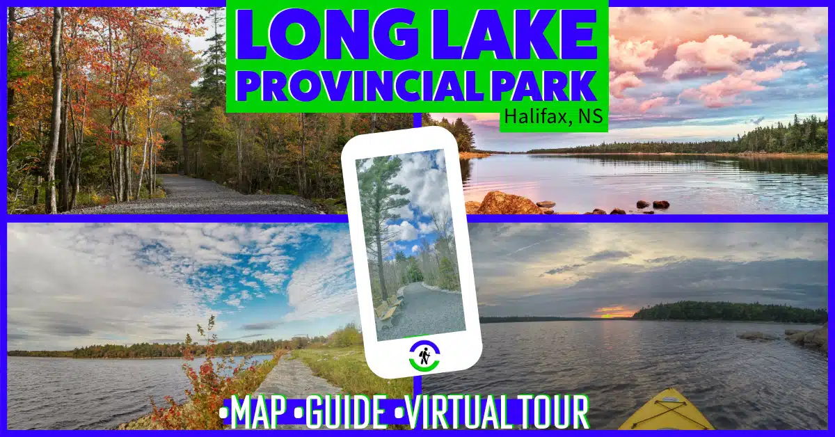
Halifax Regional Municipality Long Lake Provincial Park Moderate, Biking, Easy, Half-Day, Hiking, Paddling, Short, Swimming
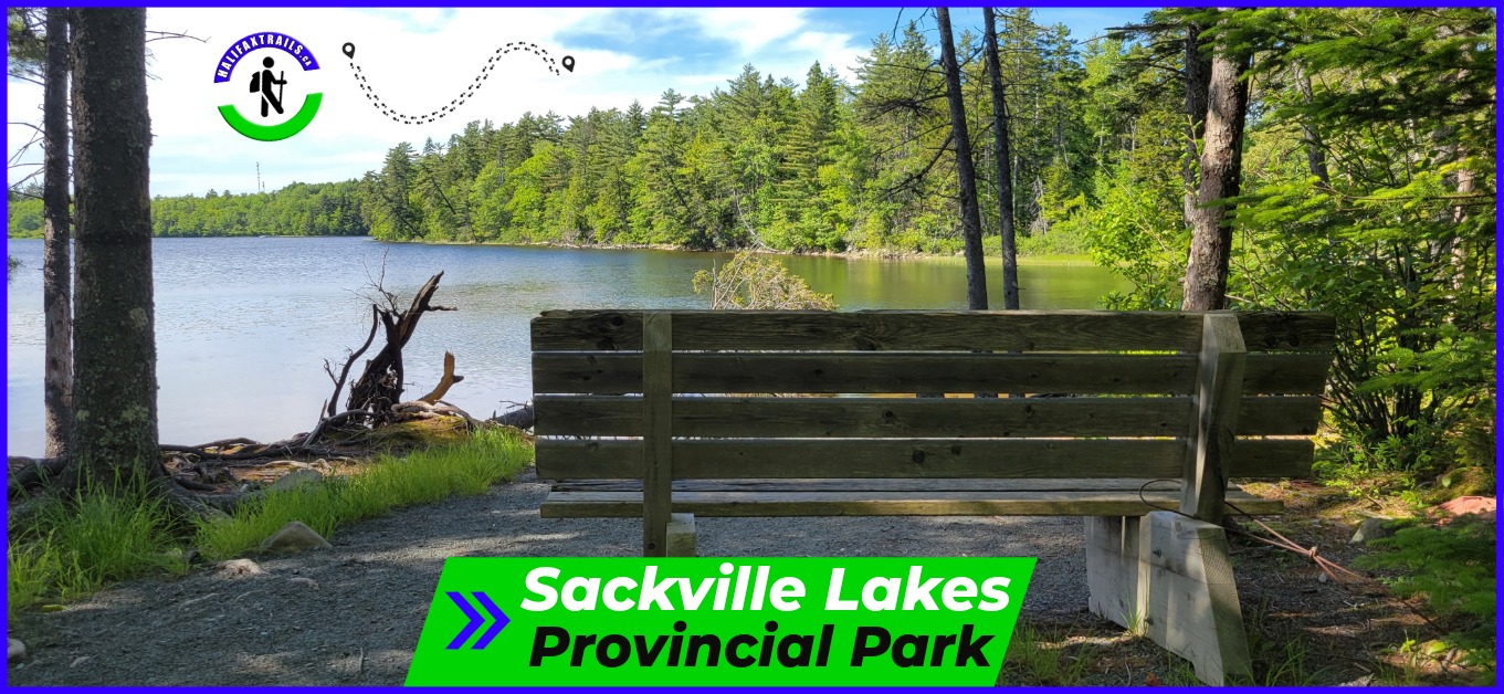
Halifax Regional Municipality Sackville Lakes Provincial Park Easy, Biking, Hiking, Paddling, Short, Swimming
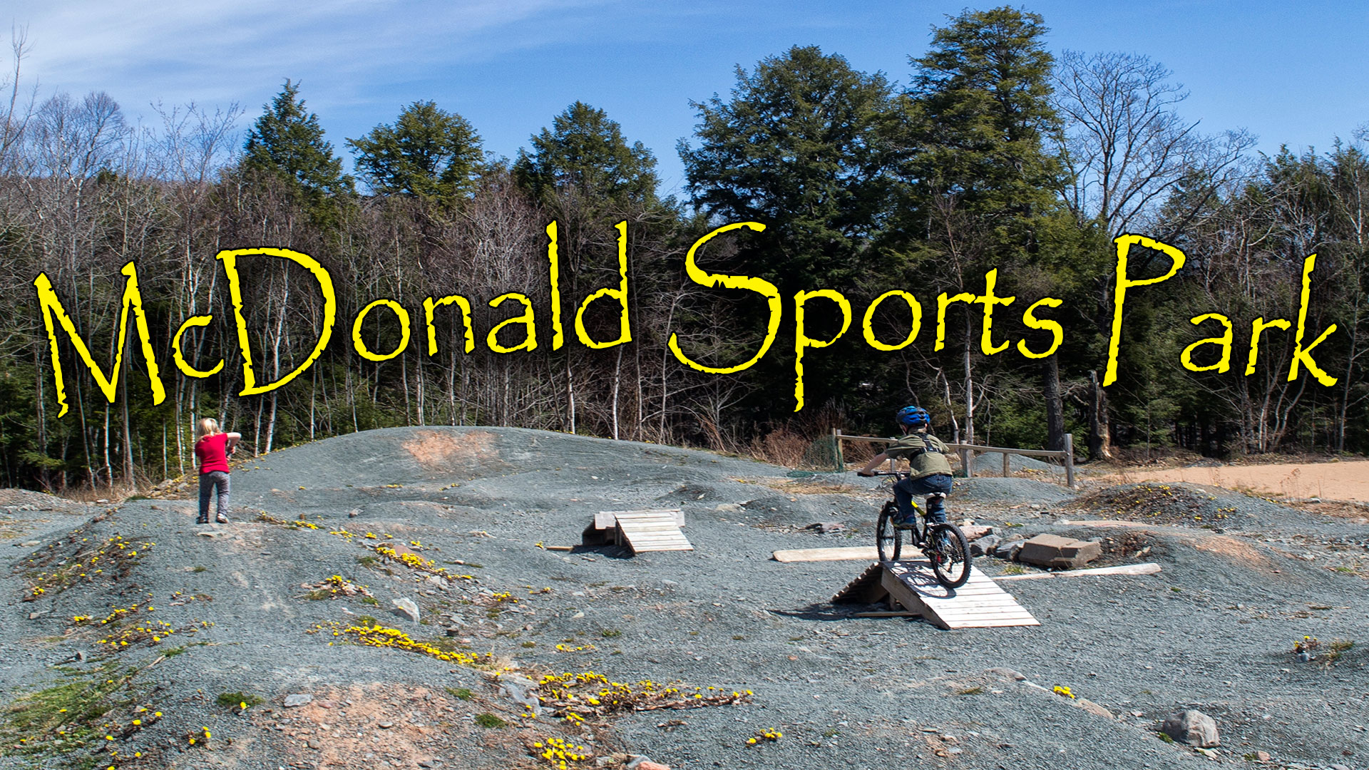
Halifax Regional Municipality McDonald Sports Park Short, Biking, Hiking, Moderate, Paddling, Swimming