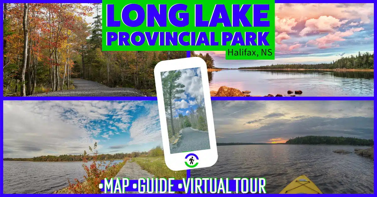
Halifax Regional Municipality Long Lake Provincial Park Moderate, Biking, Easy, Half-Day, Hiking, Paddling, Short, Swimming
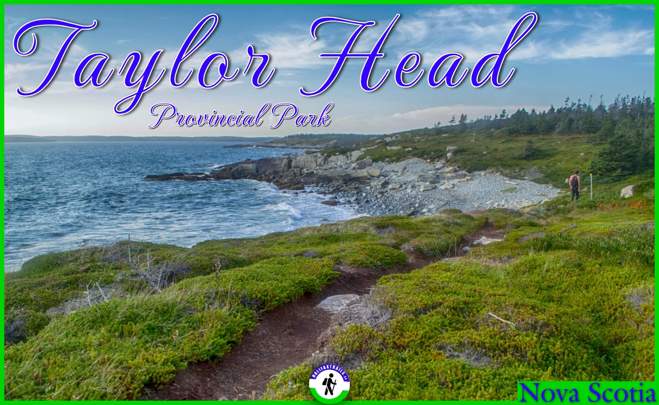
Halifax Regional Municipality Taylor Head Provincial Park Long, Difficult, Half-Day, Hiking, Moderate, Swimming
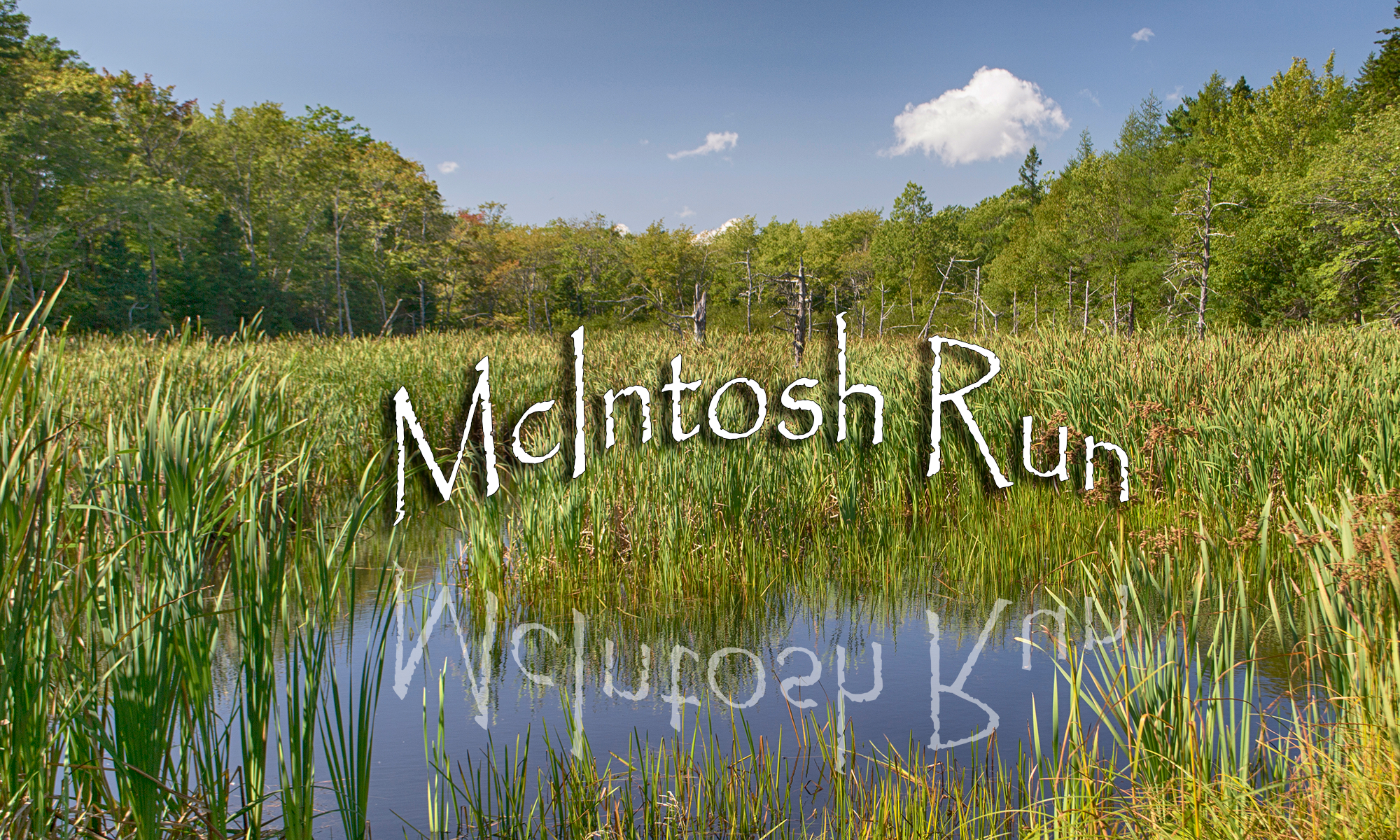
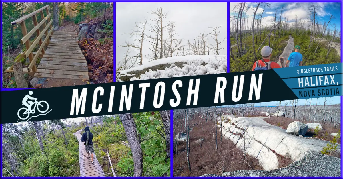
Halifax Regional Municipality McIntosh Run Singletrack Trails Moderate, Biking, Half-Day, Hiking, Short