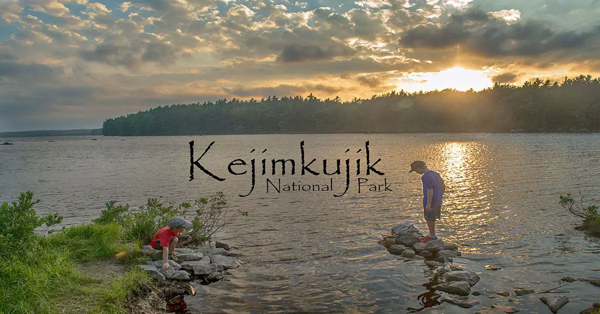
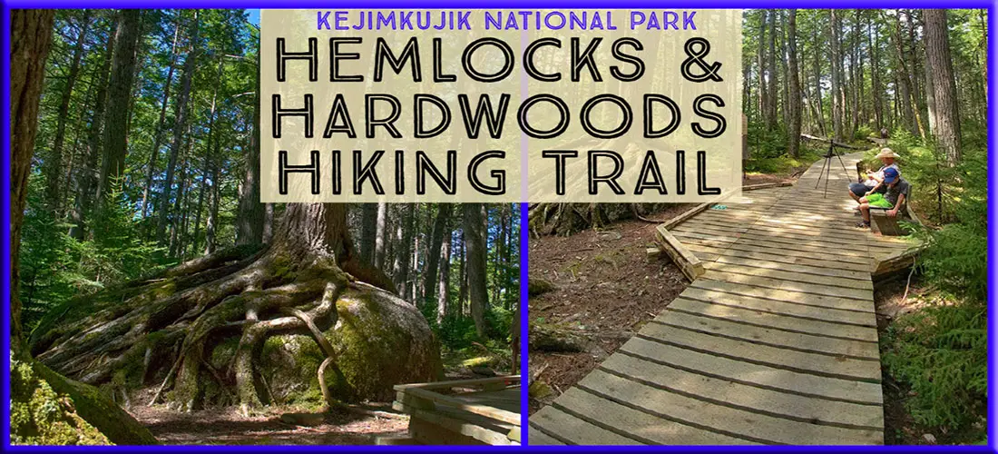
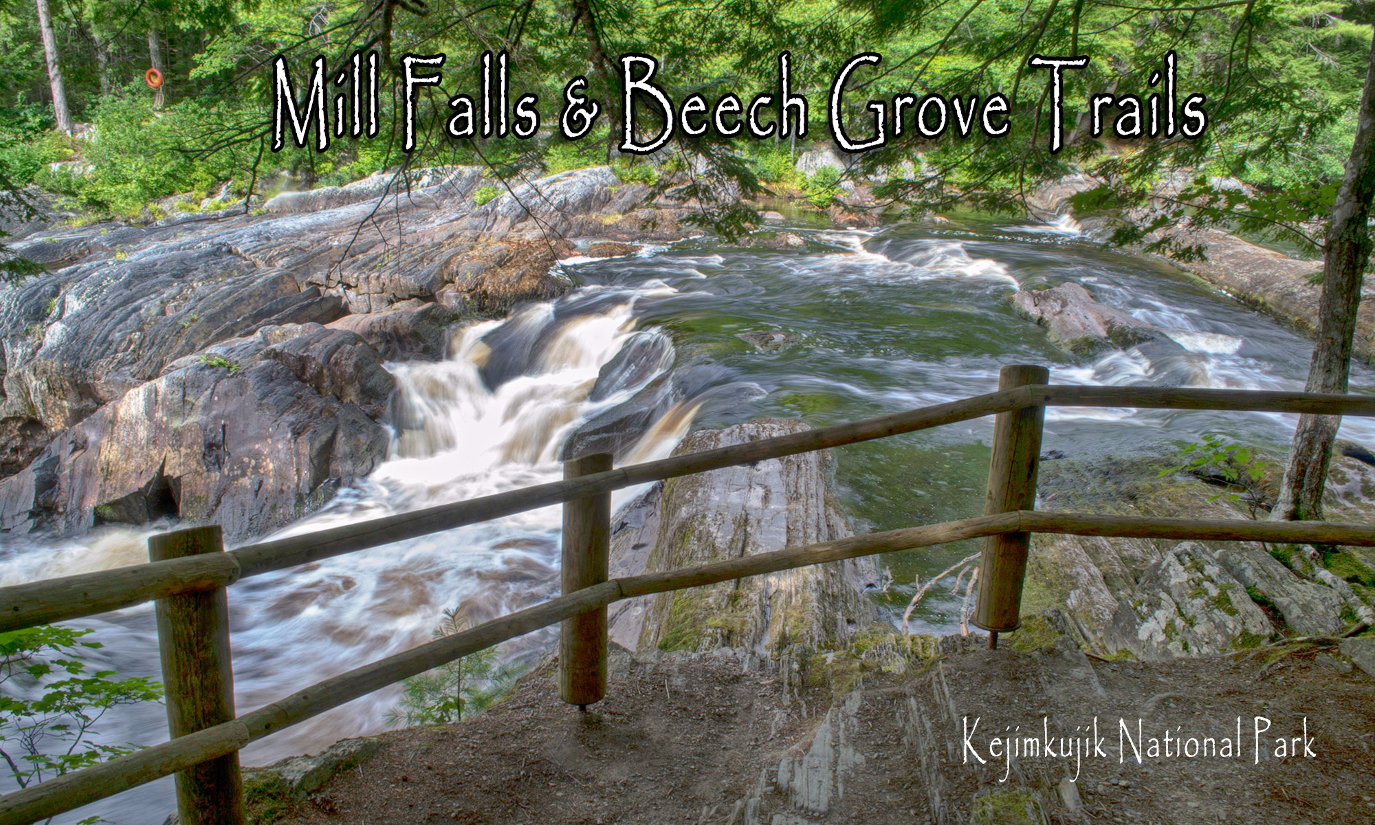
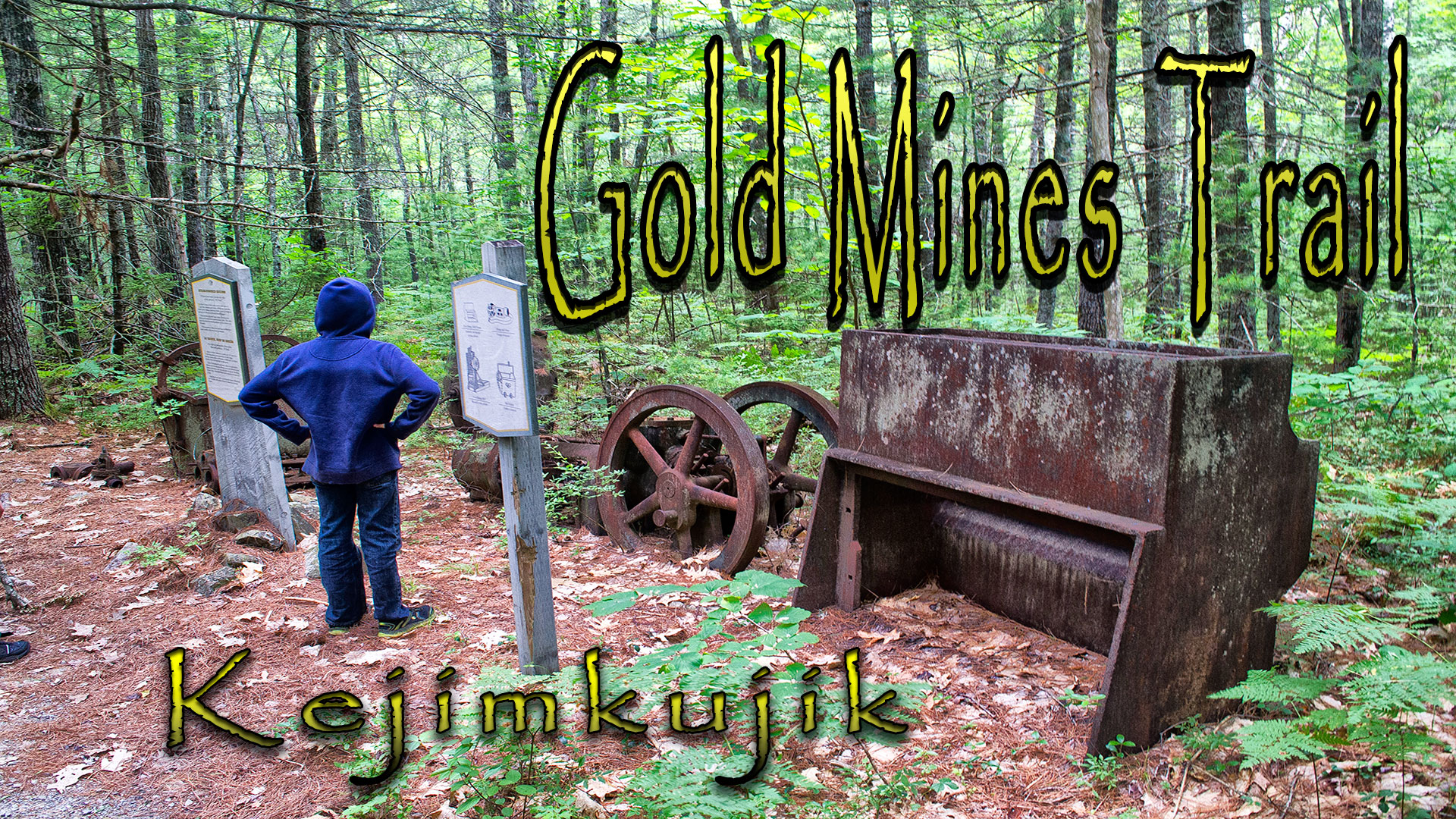
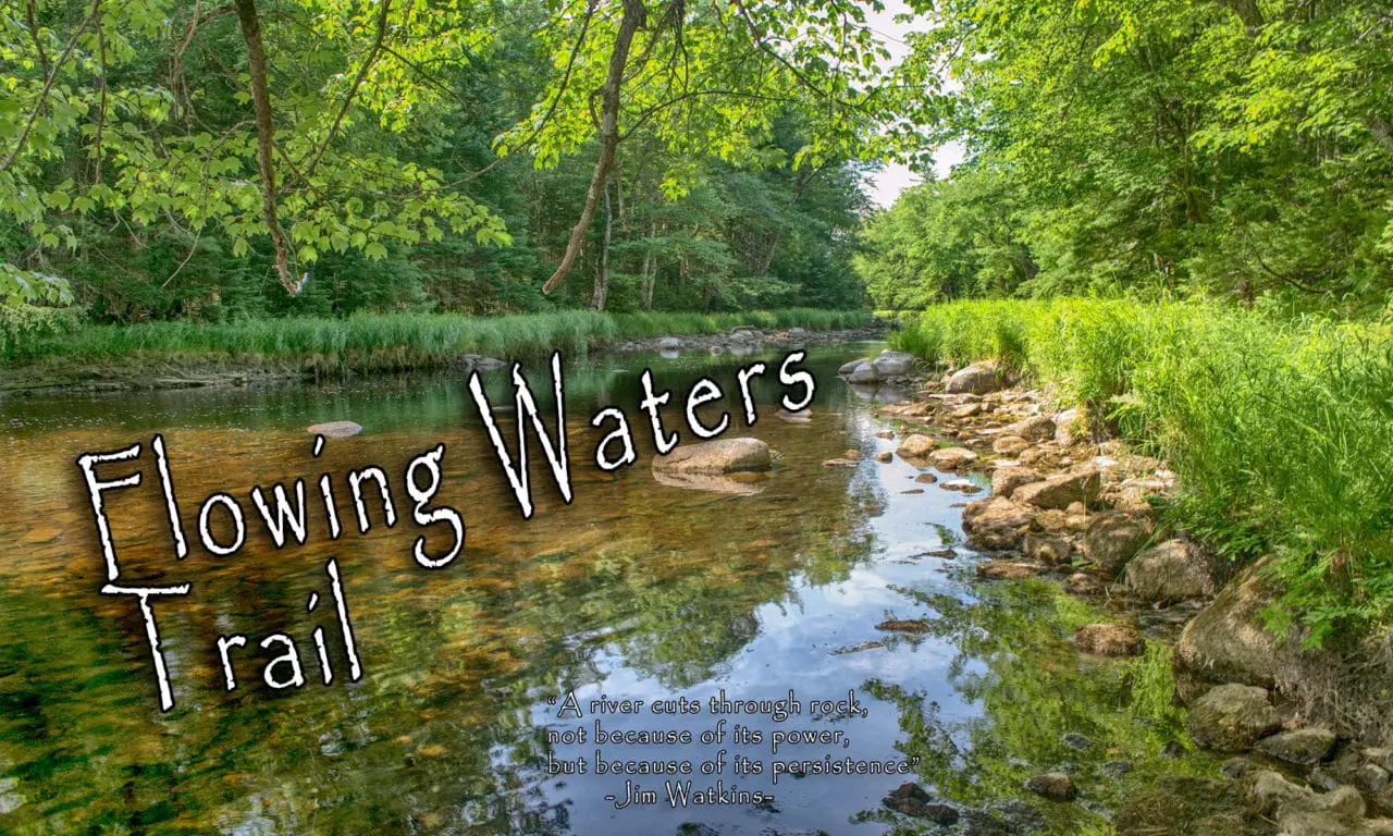
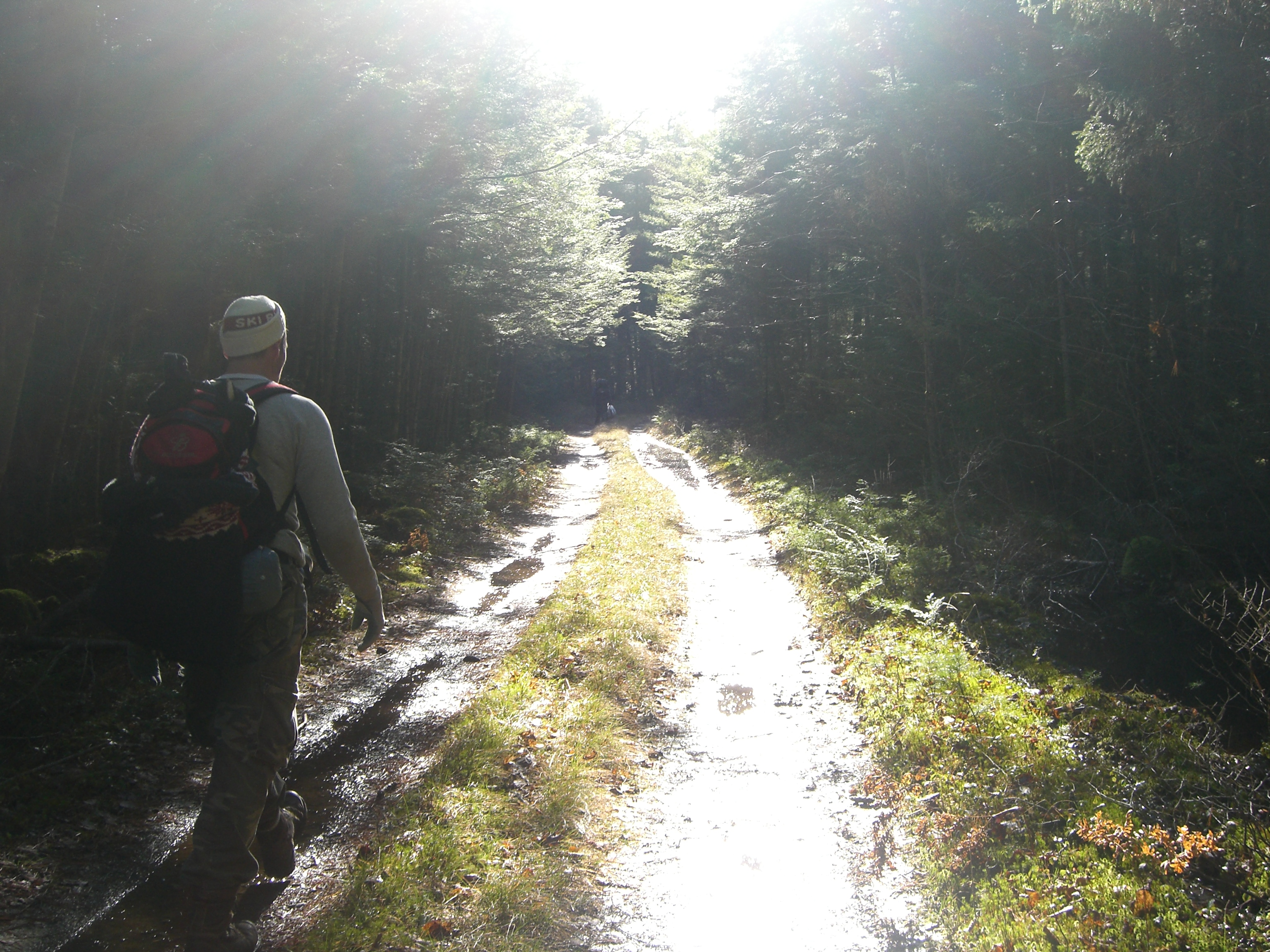
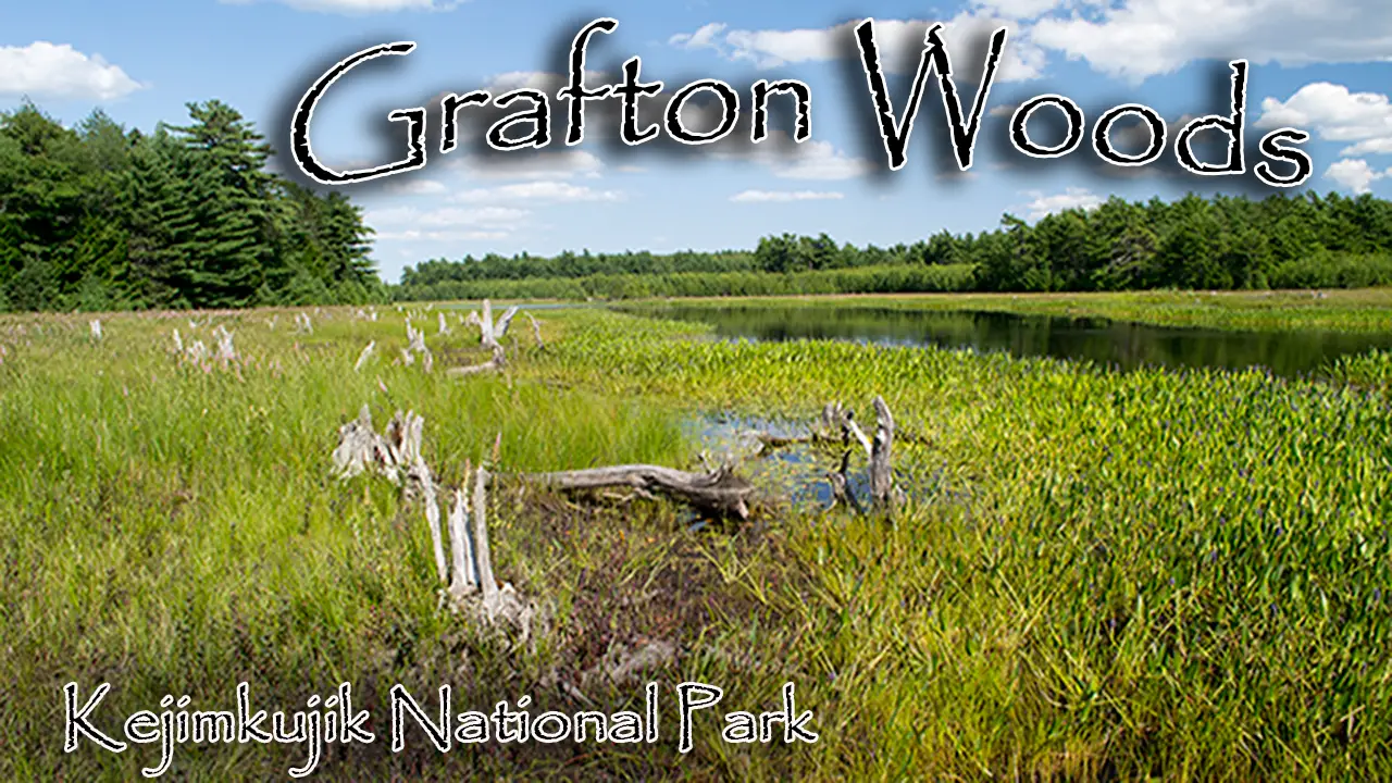
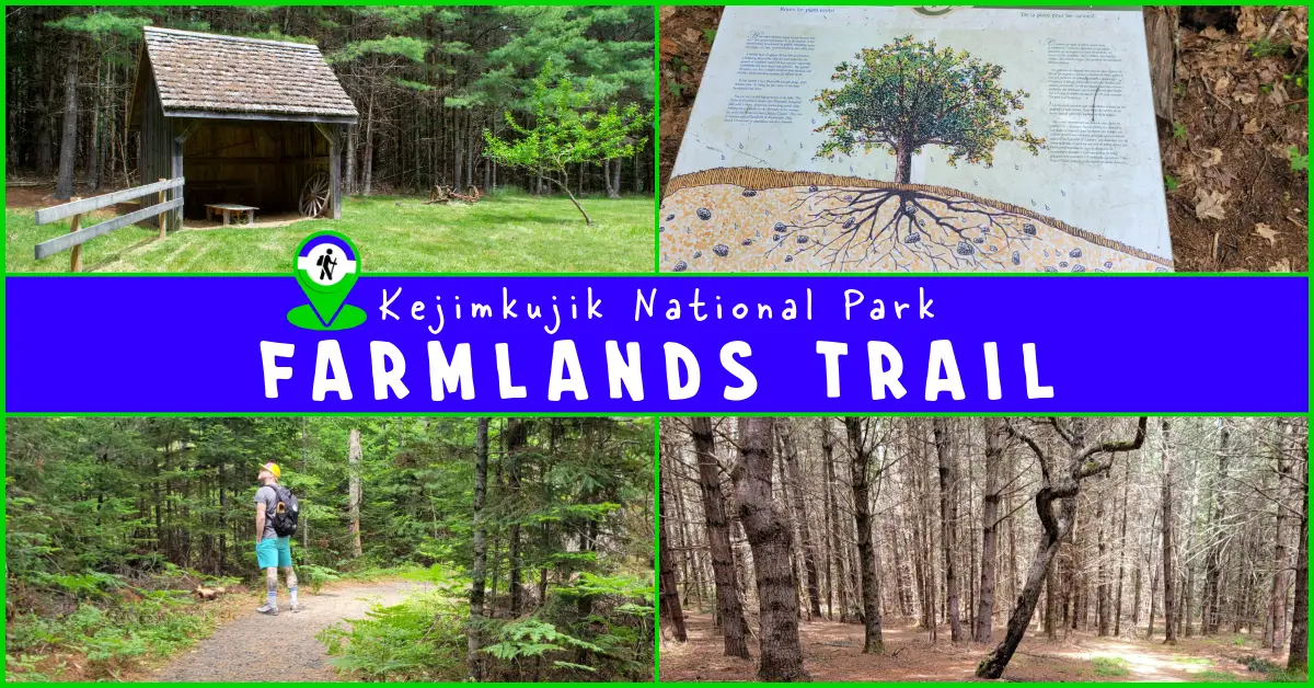
Farmlands Trail – Kejimkujik National Park
Difficulty: Easy (gradual elevation ascent of 40m). Infrastructure: Parking. Signage: 4 information panels which narrate a guided cultural & natural history of the area. Features: 1.5 km (30-minute) semi-looped hike up a drumlin to a plateau, the site of a 19th-century farm. Categories: #Backcountry,
Hemlocks and Hardwoods Hiking Trail – Kejimkujik National Park
Difficulty: Easy - Moderate (distance). Facilities: Parking, bike racks, outhouse. Signage: Interpretive signage throughout. Features: 5km loop trail (allow 2 hours). Boardwalk for over half of the trail makes for easy walking with very few ups and downs. Hemlock
Keji Hiking Trails – Grafton Woods
Difficulty: Easy. Setting: Diverse forest and wetlands. Facilities: Parking, bike rack. Signage: Minimal. Features: Two 1.6km loops. Dense Hemlock & Pine Forest. Lush #wetland views. Biodiversity: Eastern Hemlock | Bulrush | White Pine Categories: #Hiking-Short #Bird-Watching #Kejimkujik #Lake #Wetlands Grafton Woods Trail Grafton woods
Gold Mine Trail – Kejimkujik National Park
Difficulty: Easy. Setting: Forest, old gold mining pits. Facilities: Parking Signage: Interpretive panels and displays throughout. Tags: #Hiking-Short #Historic-Site #Kejimkujik GPS Files | Maps & Resources - How To. A short 3km (Approximately 1 hour) hike. Flies & ticks can be bad. Fully interpretive trail with
Flowing Waters Hiking Trail – Kejimkujik National Park
Difficulty: Easy. Features: Forest, 1km looped trail following the Mersey River & adjacent wetlands. No bikes allowed. Facilities: Parking, Bike Rack, Picnic Table. Signage: Interpretive panels, minimal signage. Biodiversity: Brook Trout | American Crow | Green Frog Categories: #Short #Kejimkujik #River #Wetlands GPS Files
Kejimkujik National Park
Difficulty: Easy - Difficult (destination dependent). Facilities: Parking, canoe rental, washrooms, food, campsites, showers, supervised beach, sky observatory, visitor center. Signage: Excellent signage, trail markers & information panels throughout. Features: Nova Scotia's top camping destination. Accommodates adventures large and small. On-site
Fire Tower Trail
Trail Map | GPS Map Files Kejimkujik Info Maps & Resources - How To. Difficulty: Difficult (Distance). Setting: Old logging road leading to the fire observation tower. Facilities: Camping cabin, parking. Signage: Adequate. Basic 2 person cabin with stove, kitchen and bunk beds. Fire tower is in