


- Difficulty: Easy (distance dependent).
- Facilities: Parking, Toilets, Benches, Dog Bags, Garbage Cans.
- Signage: Information kiosks at trailheads, interpretive panels, and other signage.
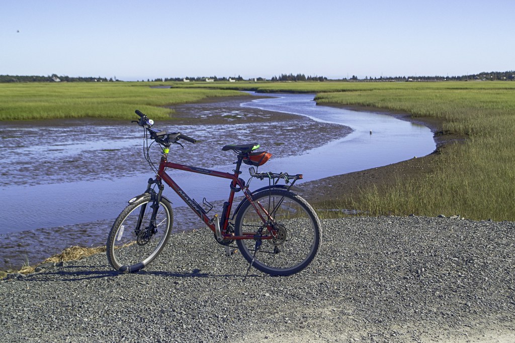
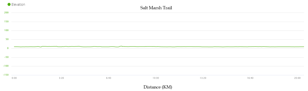
- Features: Former rail causeway spanning 9km over saltwater marsh habitat. Flat, 2-meter-wide trail with a compacted crusher dust base. Scenic bridges and stopping points are great for birdwatching.
- Biodiversity: A variety of shorebirds like Greater Yellowlegs and Willet, as well as salt-tolerant flora such as Seaside Pea and Northern Seaside Goldenrod (see the Nature section below).
- Trail Conditions: View and sign the logbook for recent updates from fellow explorers.
Trail Map
For live GPS tracking while on the trail, click here to open Google Maps. Learn more on my how-to page.
Cycling & Walking the Salt Marsh Trail
Distance: 9km one-way (18km return) | Time: 3.5–4 hours walking / 1.5–2 hours cycling | Difficulty: Easy / Accessible
Parking & Access Points
Because the Salt Marsh Trail is one of the most visited trails in the region, parking requires a bit of strategy during sunny weekends and peak hours. Here are your best options for accessing the trail from either end:
1. Cole Harbour Access (Bissett Road)
- Main Trailhead Lot: Located directly on Bissett Road, this is the primary and most popular starting point. Note: Because of its popularity, this lot fills up exceptionally fast.
- Shearwater Flyer Lot: Situated right across the street from the main lot. This is a convenient secondary option, but it also reaches capacity quickly during peak hours.
- The Overflow Lot (Your Best Backup Plan): If the two main lots are packed, avoid the frustration of circling. Just 250m around the corner on Bissett Road is a dedicated overflow lot. A scenic 300m connector path leads directly from this lot onto the Salt Marsh Trail, or you can take the path 1km in the opposite direction to explore the Cole Harbour Heritage Park system.
2. Lawrencetown Access (Eastern End)
- Lawrencetown Community Centre: If you prefer to tackle the trail in reverse (starting from the Atlantic View Trail end), you can park here. A short connector path links you to the Atlantic View Trail, which flows seamlessly westward onto the Salt Marsh causeway. Note that this lot is for the Community Centre, so it can fill up if events are happening there.
💡 Local Guide Tip: If you are meeting up with a group, send them straight to the Bissett Road overflow lot right from the start. It saves everyone 10 minutes of traffic stress at the main entrance!
Getting There By Public Transit
1. The Cole Harbour Approach (Bus + Walk-In)
This is the most straightforward option for pedestrians and hikers travelling without a vehicle or bicycle.
- Key Bus Routes: Take express Route 159 (Colby Express) from downtown Halifax, or connect to local Route 59 (Colby) or Route 61 (North Preston) from Portland Hills Terminal Bay 1.
- Where to Get Off: Disembark along Cole Harbour Road near the Bissett Road intersection (look for stops near Caldwell Road or Hugh Allen Drive).
- The Walk-In: From Cole Harbour Road, head south down Bissett Road. It is an approximately 3.5 km (35–40 minute) walk along the roadside to the main trailhead parking lot at 805 Bissett Road.
- Scenic Shortcut: Instead of walking the road the entire way, pedestrians can enter Cole Harbour Heritage Park at 256 Bissett Road and follow the interconnecting woodland trails down to where the park meets the salt marsh causeway.
2. The Rail-Trail Cycling Link (Ferry + Bus + Bike)
For cyclists, the most seamless active transportation route avoids walking or riding on Bissett Road by linking through the adjacent greenway network.
- The Transit Leg: Take the harbour ferry from downtown over to the Woodside Ferry Terminal in Dartmouth. From Woodside, board Route 6B (Eastern Passage), travelling down Pleasant Street / Main Street towards Shearwater, disembarking near Corsair Drive. Note: Bikes are permitted on the ferry and on standard bus front bike racks.
- The Trail Connection: Hop directly onto the Shearwater Flyer Trail from Corsair Drive. This flat, well-maintained crusher-dust rail trail extends 8.5 km inland and leads directly into the start of the Salt Marsh Trail at Bissett Road.
- The Ride Experience: Cycling this continuous route turns the transit journey into a full-day adventure, allowing riders to pedal smoothly from the ferry terminal, across the scenic salt marsh causeway, and all the way out to Lawrencetown Beach and beyond via the beautiful Atlantic View Trail.
Route Planning: The Four Bridges
While you can walk any distance and turn back, the most popular route is the 4km bridge stretch (8km return). This takes about 1 hour and 45 minutes of moving time on foot, or a breezy 40 minutes by bike.
Here is what you will encounter as you leave the parking lot:
- Rosemary’s Way (600m in): After a short wooded section, the trail opens up to the water with quiet, tucked-away benches.
- Bald Eagle Bridge (800m in): Just past the history kiosk and covered picnic area, you cross the first bridge.
- Canada Goose Bridge (1.1km in): A busy spot for waterfowl. From here, you enter a spectacular 1.3km open stretch directly through the marsh.
- Ready Aye Ready Bridge (2.4km in): Watch the fast-flowing tidal current beneath you.
- Conrad Brothers Bridge (3.15km in): The final overwater crossing before the trail heads into a 1.7km sheltered woodland stretch, eventually meeting the Atlantic View Trail at Lawrencetown Road.
🚴 Epic Cycling Route Expansion: For a longer ride, you can connect the Shearwater Flyer, Salt Marsh, and Atlantic View trails into a 25km (one-way) coastal route. Expect about 2 hours of pedalling each way.
Want Offline GPS Navigation For Local Rails-To-Trails Routes?
Don’t get caught without cell service on the old railway stretches. Grab the verified Rails To Trails Package over on the shop—it includes 12 trails and individual segments, including the Salt Marsh Trail, custom POIs (parking, access points), and a step-by-step device-loading guide.
Photos
To view my full Salt Marsh Trail photo gallery, click here.





360° Virtual Tour
#SaltMarshTrail feed on Instagram:
Cole Harbour–Lawrencetown Coastal Heritage Park
The Salt Marsh Trail is a centrepiece of the provincial Cole Harbour–Lawrencetown Coastal Heritage Park system. Because of this protected designation and deep community roots, the route boasts an exceptionally high standard of safety, cleanliness, and wayfinding.
- Volunteer Trail Patrol: The path is actively monitored by a friendly, dedicated volunteer patrol from the Cole Harbour Parks and Trails Association (CHPTA). They work tirelessly to keep the causeway clear of debris and safe for all users. (Local Tip: If you enjoy the pristine condition of the trail, consider making a donation to the CHPTA to support their ongoing grassroots efforts!)
- Distance Markers: Whether you are tracking your pace on a run or pacing out a family walk, wayfinding is effortless. The association has installed clear distance markers in both directions along the entire route.
- Interpretive Panels: Regularly spaced information panels dot the trail. These panels inform visitors about the surrounding salt marsh habitat, local history, and the old railway legacy, making it a great educational experience.
Nature and Biodiversity
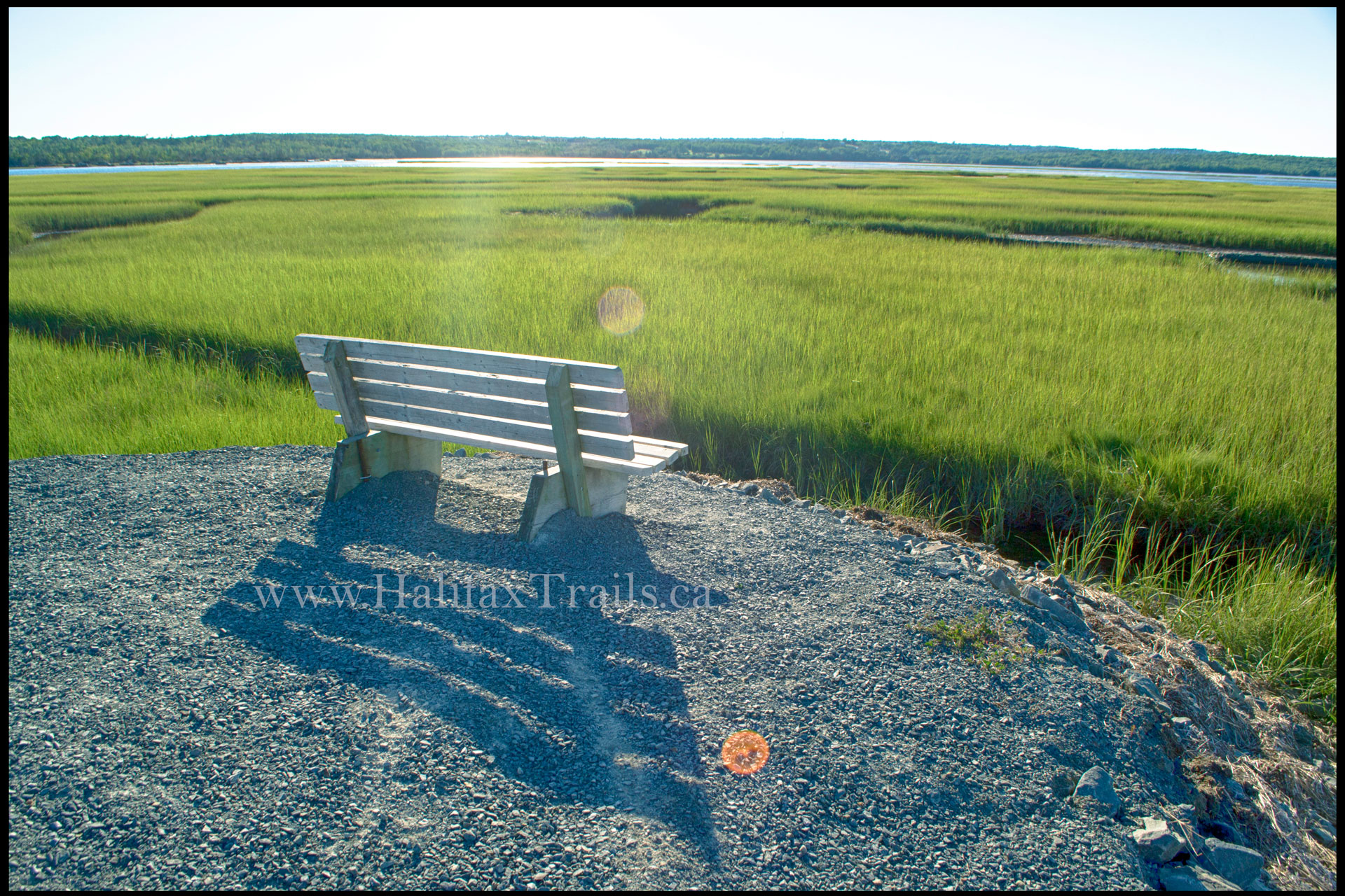
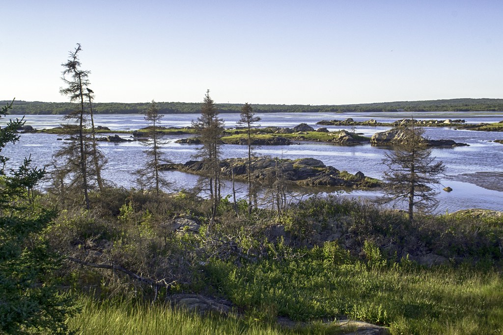
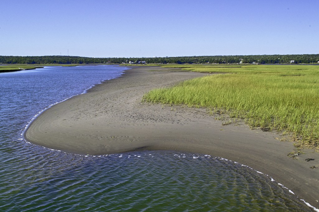
The Salt Marsh Trail is a haven for coastal wildlife, where the dynamic meeting of land and sea creates a nutrient-rich habitat. As you walk the trail, you are surrounded by an expansive intertidal landscape that serves as a vital feeding and resting ground for numerous migratory birds. You can frequently observe shorebirds such as Greater Yellowlegs, Willets, and Short-billed Dowitchers probing the mudflats for invertebrates, while Great Blue Herons stand motionless in the shallows waiting for prey.
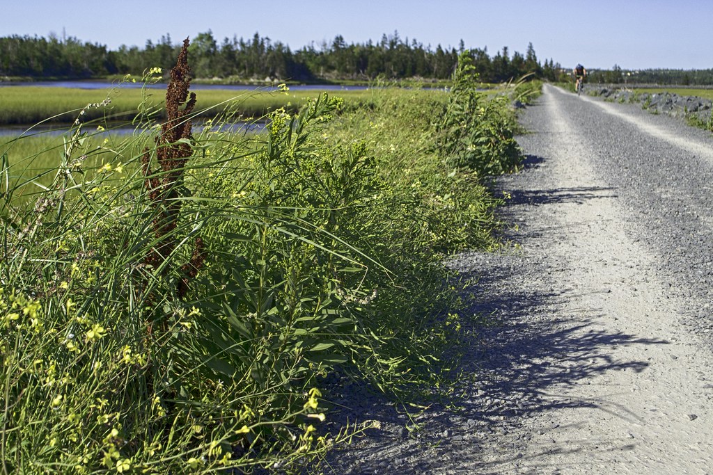
Beyond the salt marsh itself, the trail’s edge is defined by specialized, salt-tolerant vegetation. Sturdy plants like Seaside Pea and Northern Seaside Goldenrod have adapted to thrive in these harsh, saline conditions, effectively stabilizing the marsh fringe. This diverse ecosystem supports not only a wide array of avian species, from majestic Bald Eagles patrolling the bay to common Song Sparrows nesting in the surrounding shrubs, but also provides a unique window into the resilient flora and fauna that call Nova Scotia’s coastline home.
Recent Community Sightings
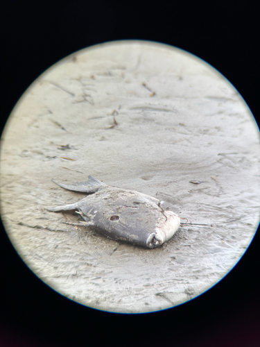
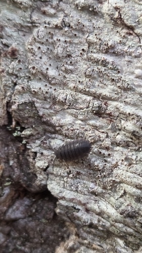
Live wildlife and plant observations logged along this route:


Spot something interesting while out on the trail?
View & Log SightingsTrip Tips
For news & updates on the Salt Marsh Trail, visit the Cole Harbour Parks and Trails Association Facebook page.
As this trail can be busy at times, proper trail etiquette is a must. Pets must be on a leash, walkers should stay to one side, and cyclists should use a bicycle bell to alert people when passing (good advice for all of the rails-to-trails). If you’re doing the entire trail from the Salt Marsh Trail parking lot to the end of the trail in Lawrencetown and back by bicycle you can expect it to take between 1.5 to 2 hours of moving time. Walking the entire length of the trail up and back takes 3.5 to 4 hours of moving time (breaks not included). If you opt for the more common route of crossing the 4 bridges to the end of the causeway and back, you can cut the previously mentioned times in half (the same applies for a one-way trip).
Come prepared with an extra, wind-resistant layer of clothing as it can be quite windy when on the open marsh area of the trail. If you’re a photographer or bird enthusiast, you’ll have a literal field day here, so bring your best equipment. Pack your camera gear, binoculars & a good local bird guidebook as there’s always plenty to see. This geographically rare salt marsh #wetland habitat is a great place to view a diverse array of waterfowl, plants, and mammals. 90 bird, 12 mammal, and 6 reptile species have been recorded here.
With all of the intriguing wildlife, some of your time is best spent sitting on one of the numerous benches to enjoy the view. The exceptionally high level of safety, care, and popularity of this trail makes it a great destination for anyone looking for a scenic walk, jog, bike ride, or just a peaceful getaway. The Salt Marsh Trail has been rapidly transformed from an industrial railway to one of Halifax’s most revered nature destinations. Its natural beauty and ecological importance, combined with hard work by volunteers, and the building of a grassroots community, have culminated in something truly wonderful.
Looking for a fun, outdoor adventure to complete with family and friends on the Salt Marsh? Try “Curious Heron” to become a Great Blue Heron and discover some of the neat things in the marsh. The step-by-step instructions for this 3 km trail adventure and a route map can be downloaded at earthadventures.ca. The approximate time to complete the adventure is 1 hour and 30 minutes.
Turn your outing into a getaway; use this interactive map to find the best local accommodations and unique stays just minutes from the Salt Marsh Trail trailhead.
Where to Stay Nearby
Similar Adventures



🍂Fall Foliage Prep
Gear up for shorter days & cooler weather while supporting local.
 Vetted Gear, Local Guidebooks & Exclusive Prints
Featured Products
Purchases help fund these guides