
- Difficulty: Difficult (terrain, hills, navigation). View elevation profile.
- Facilities: None.
- Signage: Unmarked, sparse signage & maps.
- Features: Challenging 4km (2hour) loop. Rugged, rocky, hilly landscape with a natural amphitheater-like lookoff. Part of a broader system of trails with plenty to explore.
- Biodiversity: Ladyslippers | Aplite Granite | More…
- Tags: #BackCountry #BlueMountain-BirchCove #Hiking #Lake #Lookoff #Old-Growth #Swimming


 SUBSCRIBE
Charlies Lake Trail
Charlies Lake trail is a rugged, hilly, breathtakingly scenic 4km loop section of the larger Kearney Lake trail system in the yet-to-be-created, but long-promised Blue Mountain-Birch Cove Lakes Wilderness Park. The trails are unmarked, with occasional maps and signage. Navigating this area can be challenging to newcomers, with many interconnected paths leading in different directions. Part of a vast wilderness with plenty to explore, Charlie’s lake is an iconic cornerstone in what would be North America’s largest urban wilderness park. If you appreciate this area and would like to see the park come to fruition, complete with proper trails, access, and maintenance, the best thing you can do is become a member of the Friends Of Blue Mountain-Birch Cove Lakes Society.
Parking & Hiking Trail Access Points
The nearest parking is a large gravel parking area adjacent to Maskwa Aquatic Club. This land is leased by Maskwa and it’s due to their kindness that you can park here. Their land is leased purely for the purpose of running a paddling club and they do not maintain the trailhead or have anything to do with people hiking here. Do Maskwa a favour in return by packing out what you pack in. Do not use Maskwa’s designated parking or block access to their property in any way. Keep in mind that the drive into Maskwa passes by a municipal beach and playground with children running around. Saskatoon drive is a quiet neighbourhood with children, so keep speeds very low on your way in and out from Kearney Lake Road.
A second way to access this area is via the end of Colins Road. This quiet cul-de-sac has limited parking and can often be overflowing with cars during peak times. For a period of time, the NS government forced Maskwa to disallow access, making Colins Rd. even busier. Make sure not to block driveways, keep noise levels to a minimum, and pack out what you pack in as there is no garbage collection. Colins Rd. is typically used for easy access to Hobsons Lake, but both access points are equally fine starting points to explore this area should one be overly full of cars.
Until this wilderness park comes to fruition, access will continue to be limited. The jumble of trails can’t be improved until the park is created from its current patchwork of land ownership, so be sure to keep the pressure on our local governments to fulfil their decades-long promise to create it. As I said previously, the best way to do so is to become a (free) member of the Friends Of Blue Mountain-Birch Cove Lakes Wilderness Society.
Un-Marked Blue Mountain-Birch Cove Wilderness Area Trails
Good public access points to the Blue Mountain-Birch Cove Lakes Wilderness Area, thus far, are non-existent due to its enduring state of purgatory. Some visitors park in a gravel area adjacent to the Maskwa Aquatic Club, which is private property that Maskwa uses solely for the purpose of running a paddling club. The trail system is also Accessible via the end of Colins Rd. which is often crowded at peak times due to the limited nature of parking at the end of a cul-de-sac.
Entering behind Kearney Lake, following sparsely marked trees (spray paint), posted maps and a couple of signs for Charlies Lake, you’ll make your way through the rugged paths, steadily up a hill. The hike is occasionally aided by ropes, footbridges and a staircase. The terrain can be very challenging, especially in slippery winter conditions. Appropriate hiking gear is a must.
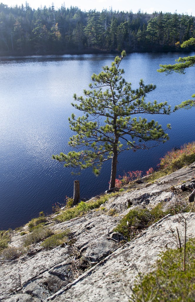
Scenic Lake Views

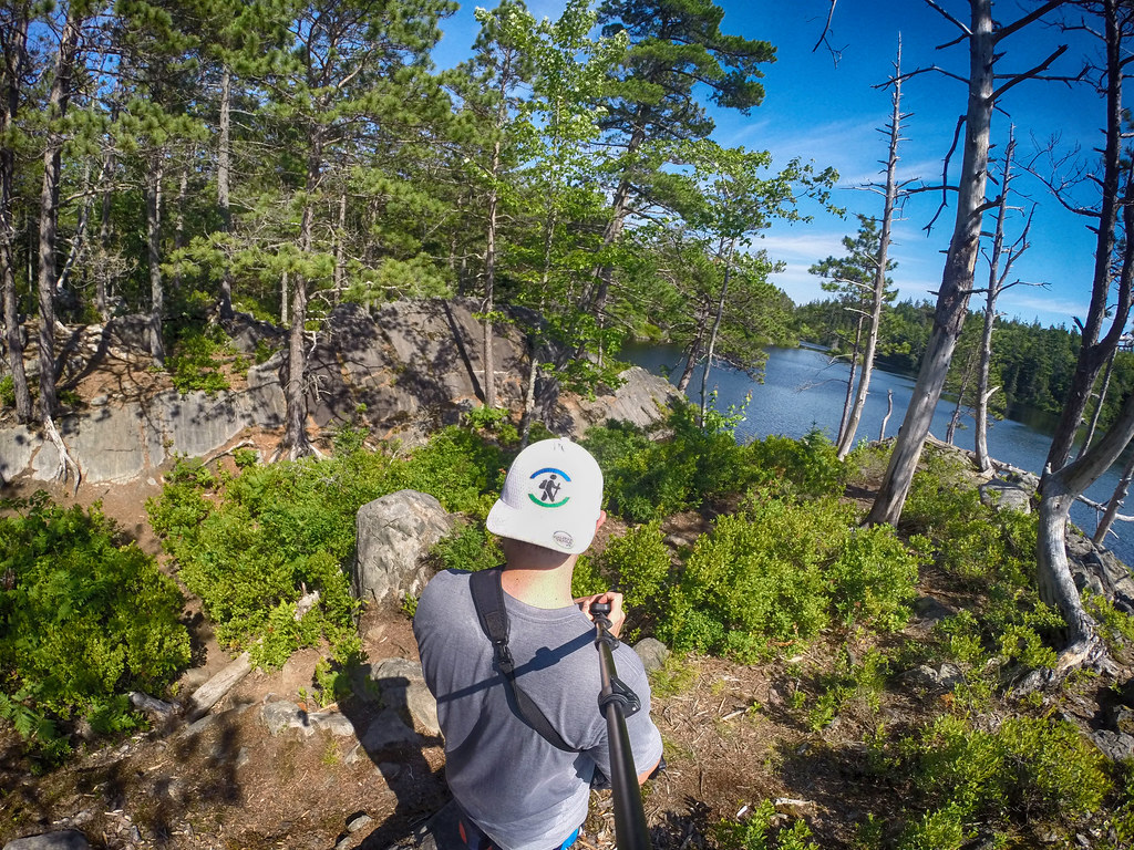
Once you reach Charlies Lake, you have all kinds of amazing views, especially in Autumn. The narrow lake spans just under 1km in length and under 200m at its widest point. It has a few access points, via scenic rock outcrops on its northern shoreline. A popular look-off/swimming access point forms a natural amphitheater atmosphere, complete with all-natural seating (Say hi to Charlie while you’re there). Heading clockwise around the lake you’ll encounter steep, elevated vistas along much of the Northern shoreline.
A Backcountry Loop
The trail loops around the entire lake, but becomes more difficult to follow on the far (south) side. The log crossing where the lake narrows can also be a bit of a challenge. I recommend using a GPS/phone with the map I’ve created as a reference since it’s very easy to get off the correct path and onto other ones.
On the far (South) side of the lake are an abandoned cabin (in disrepair/unsafe), granite embankments, streams and old-growth trees. These huge trees are sparsely hidden and often take you by surprise. They stand in stark contrast to neighbouring trees and to much of Nova Scotia’s forests where you’re unlikely to see trees this size due to decades of clearcutting.
Charlie’s Lake Trail is ideal for a 40-minute jaunt or a half-day excursion. Its authentic wilderness provides a quiet, relaxing atmosphere where you can spend plenty of time when you find a spot by the lake. A great place for #swimming in summer, skating in winter, photography and nature-watching year-round.
Shop.HalifaxTrails.ca: GPS devices | Hiking Gear | Guide Books | On Sale
Bugs can be bad in warm months (mostly in Spring) so come prepared with some insect defence, and always check for ticks after any outdoor activity. The trail can be very wet and muddy in patches, especially after wet weather, but isn’t particularly bad overall. In winter conditions it can be extremely slippery and is best done with traction spikes. Proper footwear and safety gear is a must, as they are in any wilderness area.


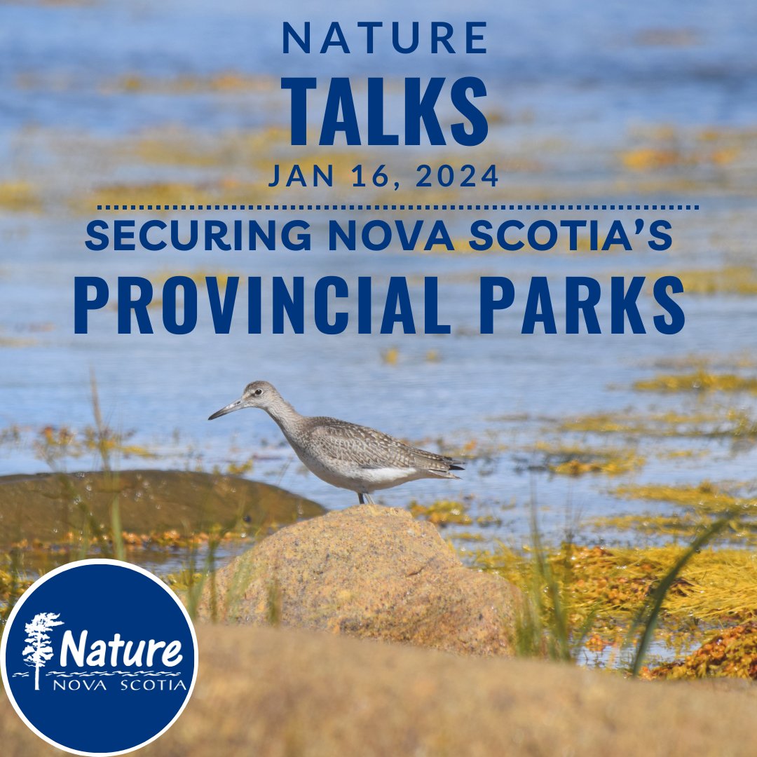
Nature Talk January 16th, 7-8pm! When is a park, not a park? Let's discuss securing our provincial parks and updating the Provincial Parks Act.
Register now: https://us06web.zoom.us/meeting/register/tZ0ldu6spj0tHtA9AuC3-m2acgFM6nH1Seaj#/registration